


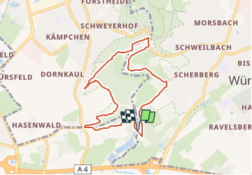

12,6 km | 14,4 km-effort


Tous les sentiers balisés d’Europe GUIDE+


Application GPS de randonnée GRATUITE
 SityTrail
IGN / Instituts géographiques
SityTrail World
Le monde est à vous
Randonnée A pied de 7,3 km à découvrir à Rhénanie-du-Nord-Westphalie, Région urbaine d'Aix-la-Chapelle, Würselen. Cette randonnée est proposée par SityTrail - itinéraires balisés pédestres.


A pied
A pied
A pied
A pied
A pied
A pied
A pied
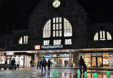
![Randonnée A pied Aix-la-Chapelle - [B4] Aachen Hauptbahnhof nach Brand - Photo](https://media.geolcdn.com/t/375/260/e83256ca-dc38-4ff1-a908-0baf40b53d68.jpeg&format=jpg&maxdim=2)
A pied
![Randonnée Marche Aix-la-Chapelle - Seffent -Orsbach [Aix-la-Chapelle _910] - Photo](https://media.geolcdn.com/t/375/260/ext.jpg?maxdim=2&url=https%3A%2F%2Fstatic1.geolcdn.com%2Fsiteimages%2Fupload%2Ffiles%2F1553511878bg_sport_marche.png)
Marche