


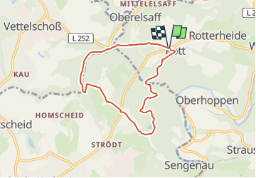

6,9 km | 8,8 km-effort

Tous les sentiers balisés d’Europe GUIDE+


Application GPS de randonnée GRATUITE
 SityTrail
IGN / Instituts géographiques
SityTrail World
Le monde est à vous
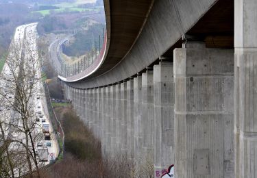
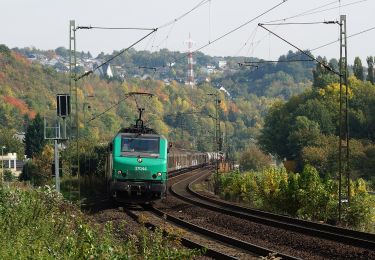
Randonnée A pied de 6,2 km à découvrir à Rhénanie-Palatinat, Landkreis Neuwied. Cette randonnée est proposée par SityTrail - itinéraires balisés pédestres.
Randonnée créée par Gemeinde St. Katharinen.
Symbole: Schwarze 6 auf gelbem Grund in grünem Kreis

![Randonnée A pied Windhagen - [W2] Windhagener Weg - Photo](https://media.geolcdn.com/t/375/260/adef9696-6d08-4cbb-94cd-bba75114ff6a.jpeg&format=jpg&maxdim=2)
A pied
A pied
![Randonnée A pied Neustadt (Wied) - [N1] Bertenauer Weg - Photo](https://media.geolcdn.com/t/375/260/23673f5b-8e9e-4aac-bd57-d7ced4e8cded.jpeg&format=jpg&maxdim=2)
A pied
A pied
A pied
A pied
A pied
A pied
A pied