


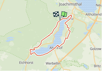

28 km | 32 km-effort

Tous les sentiers balisés d’Europe GUIDE+


Application GPS de randonnée GRATUITE
 SityTrail
IGN / Instituts géographiques
SityTrail World
Le monde est à vous
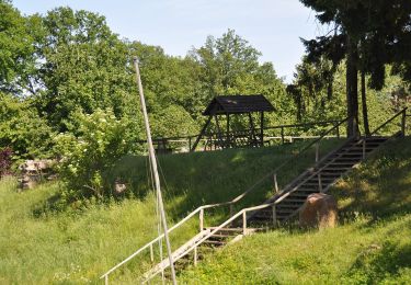
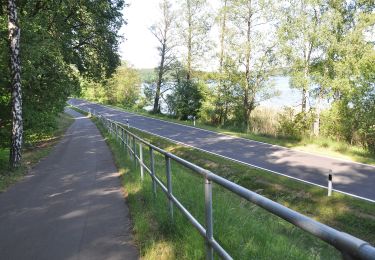
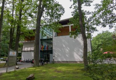
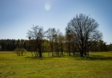
Randonnée A pied de 24 km à découvrir à Brandebourg, Barnim, Joachimsthal. Cette randonnée est proposée par SityTrail - itinéraires balisés pédestres.
Symbole: Green circle on white ground


A pied
A pied
A pied
A pied
A pied
A pied
A pied