


12,6 km | 17,3 km-effort

Tous les sentiers balisés d’Europe GUIDE+


Application GPS de randonnée GRATUITE
 SityTrail
IGN / Instituts géographiques
SityTrail World
Le monde est à vous
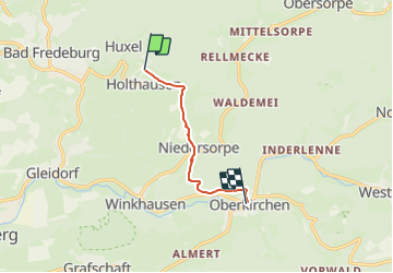
Randonnée A pied de 5,2 km à découvrir à Rhénanie-du-Nord-Westphalie, Hochsauerlandkreis, Schmallenberg. Cette randonnée est proposée par SityTrail - itinéraires balisés pédestres.
Randonnée créée par Sauerländischer Gebirgsverein (SGV).
Route wird nicht mehr gepflegt, dafür hat jedes Golddorf seine eigene Route bekommen
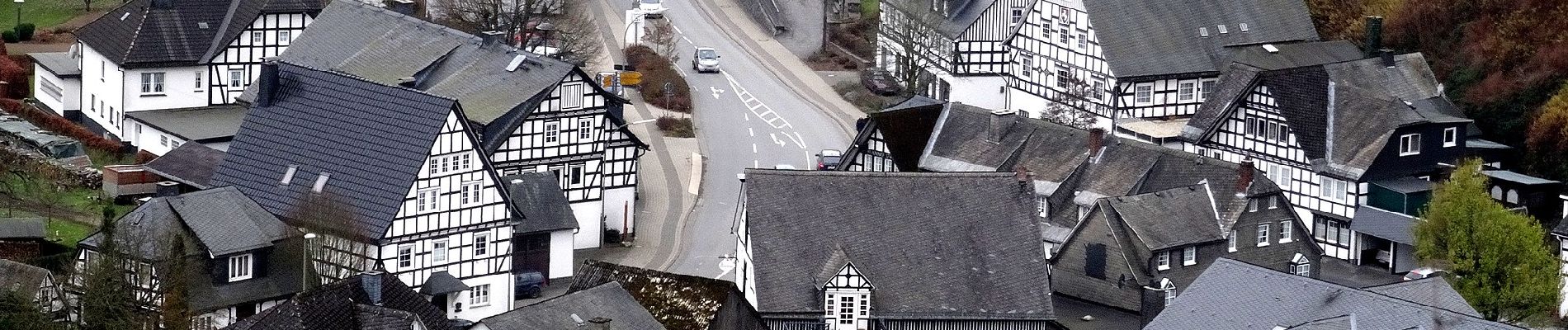
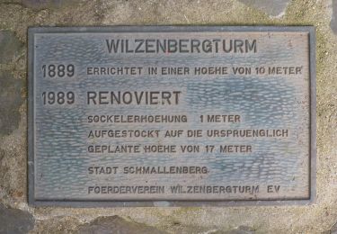
 - Photo 1")
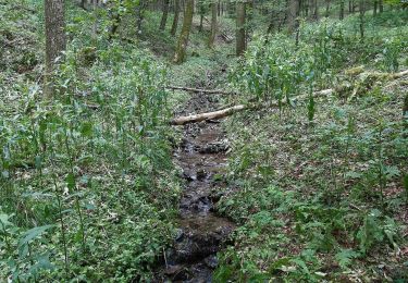
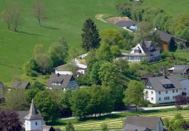
 - Photo 2")
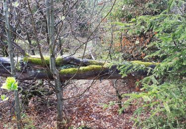
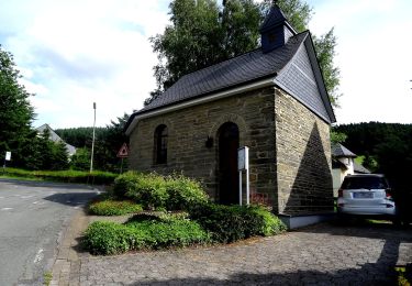
 - Photo 3")
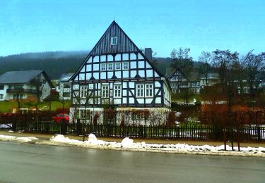
 - Photo 4")
 - Photo 5")
 - Photo 6")
 - Photo 7")
 - Photo 8")
 - Photo 9")
 - Photo 10")

A pied
A pied
A pied
A pied
A pied
A pied
A pied
A pied
A pied