


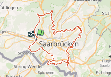

7,7 km | 10,5 km-effort

Tous les sentiers balisés d’Europe GUIDE+


Application GPS de randonnée GRATUITE
 SityTrail
IGN / Instituts géographiques
SityTrail World
Le monde est à vous
Randonnée A pied de 47 km à découvrir à Sarre, Regionalverband Saarbrücken, Sarrebruck. Cette randonnée est proposée par SityTrail - itinéraires balisés pédestres.
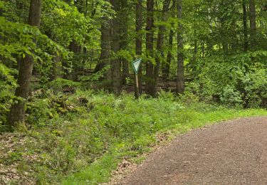
Symbole: weißer Punkt mit rotem "S" auf blauem quadratischen Grund


A pied
A pied
A pied
Marche

Marche
Marche
Marche

Autre activité