


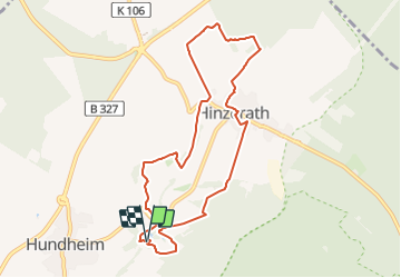

14 km | 18 km-effort

Tous les sentiers balisés d’Europe GUIDE+


Application GPS de randonnée GRATUITE
 SityTrail
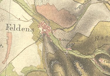
IGN / Instituts géographiques
SityTrail World
Le monde est à vous
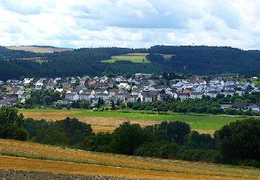
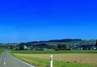
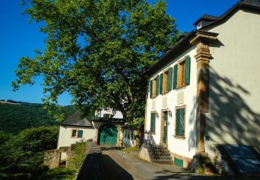
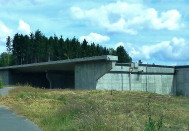
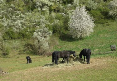
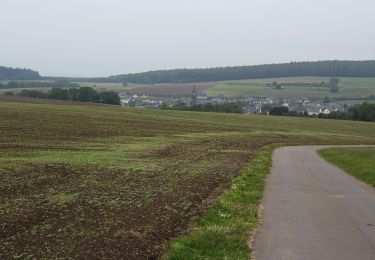
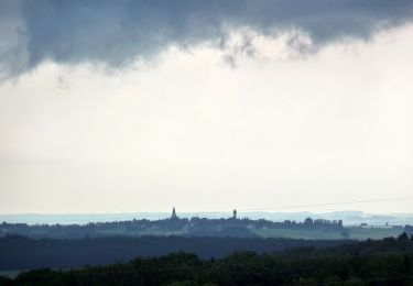
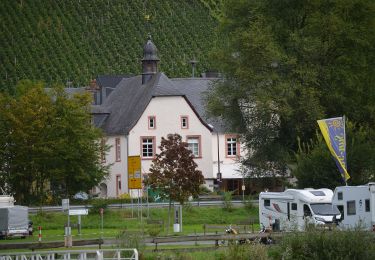
Randonnée A pied de 8,2 km à découvrir à Rhénanie-Palatinat, Landkreis Bernkastel-Wittlich, Morbach. Cette randonnée est proposée par SityTrail - itinéraires balisés pédestres.
Randonnée créée par Projektbüro Saar-Hunsrück-Steig.
Symbole: stilisiertes S und H auf lila Grund


A pied
A pied
A pied
A pied
A pied
A pied
A pied
A pied
A pied