


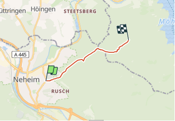

5,7 km | 7,3 km-effort

Tous les sentiers balisés d’Europe GUIDE+


Application GPS de randonnée GRATUITE
 SityTrail
IGN / Instituts géographiques
SityTrail World
Le monde est à vous
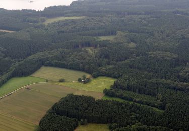
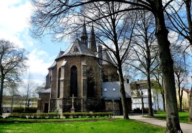
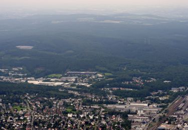
Randonnée A pied de 5,1 km à découvrir à Rhénanie-du-Nord-Westphalie, Hochsauerlandkreis, Arnsberg. Cette randonnée est proposée par SityTrail - itinéraires balisés pédestres.
Randonnée créée par Sauerländischer Gebirgsverein.
Symbole: Weißes ausgefülltes Dreieck auf schwarzem Grund


A pied
A pied
A pied
A pied
A pied
A pied
A pied
A pied
![Randonnée A pied Arnsberg - [h] Panoramaweg Herdringen - Photo](https://media.geolcdn.com/t/375/260/7f2d3098-ee3f-438d-932e-0e492dfc4c63.jpeg&format=jpg&maxdim=2)
A pied