


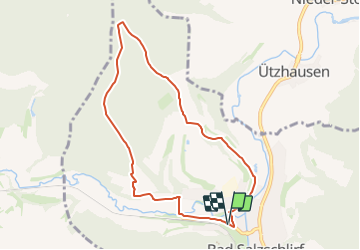

3,8 km | 5,1 km-effort

Tous les sentiers balisés d’Europe GUIDE+


Application GPS de randonnée GRATUITE
 SityTrail
IGN / Instituts géographiques
SityTrail World
Le monde est à vous
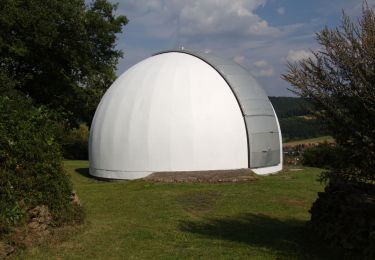
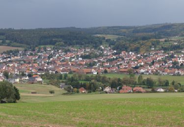
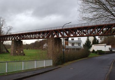
Randonnée A pied de 7,3 km à découvrir à Hesse, Landkreis Fulda, Bad Salzschlirf. Cette randonnée est proposée par SityTrail - itinéraires balisés pédestres.
Randonnée créée par Naturpark Hessische Rhön.
Symbole: white 3 on blue
Site web: https://biosphaerenreservat-rhoen.de/wanderwege/193


A pied
A pied
A pied
A pied
A pied
A pied
A pied
A pied

A pied