


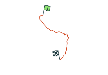

6,9 km | 8,9 km-effort


Tous les sentiers balisés d’Europe GUIDE+


Application GPS de randonnée GRATUITE
 SityTrail
IGN / Instituts géographiques
SityTrail World
Le monde est à vous
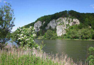
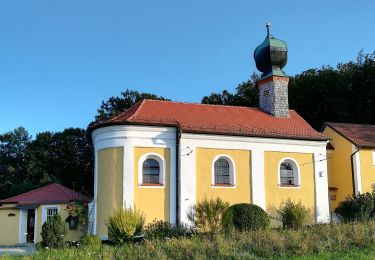
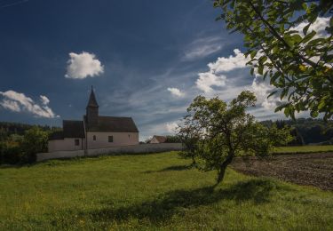
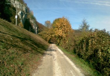
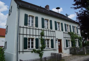
Randonnée A pied de 3 km à découvrir à Bavière, Landkreis Kelheim, Bad Abbach. Cette randonnée est proposée par SityTrail - itinéraires balisés pédestres.
Randonnée créée par Waldverein Regensburg.
FIXME: Bitte hilf mit, alle Wegsegmente zu erfassen.
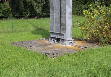
Symbole: Rotes Rechteck auf weißem Grund
 - Photo 1")
A pied

A pied
A pied
A pied
A pied
A pied

A pied

A pied
A pied