


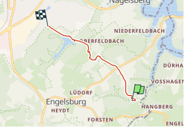

7,3 km | 8,8 km-effort

Tous les sentiers balisés d’Europe GUIDE+


Application GPS de randonnée GRATUITE
 SityTrail
IGN / Instituts géographiques
SityTrail World
Le monde est à vous
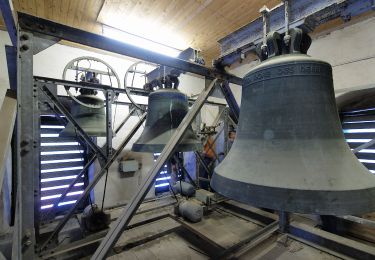
Randonnée A pied de 3,3 km à découvrir à Rhénanie-du-Nord-Westphalie, Remscheid, Inconnu. Cette randonnée est proposée par SityTrail - itinéraires balisés pédestres.
Wanderweg A2 Hasenberg


A pied
A pied
A pied

A pied
![Randonnée A pied Radevormwald - [Ra] Rund um Radevormwald - Photo](https://media.geolcdn.com/t/375/260/8f2eda21-0a7d-4da7-87a2-0a5d53ecedd4.jpeg&format=jpg&maxdim=2)
A pied
A pied
A pied
A pied
A pied