


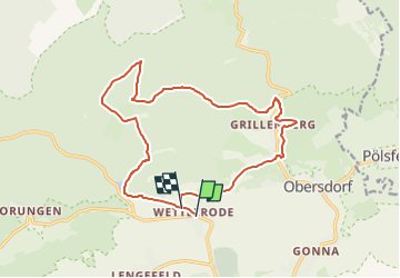

7,4 km | 9,9 km-effort

Tous les sentiers balisés d’Europe GUIDE+


Application GPS de randonnée GRATUITE
 SityTrail
IGN / Instituts géographiques
SityTrail World
Le monde est à vous
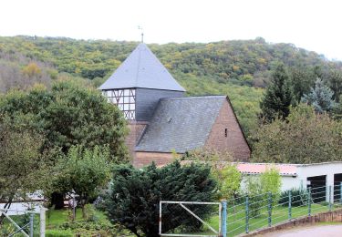
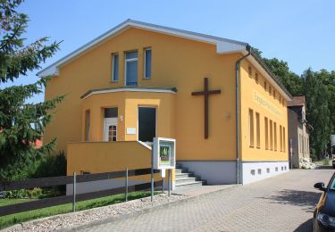
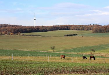
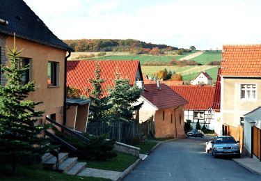
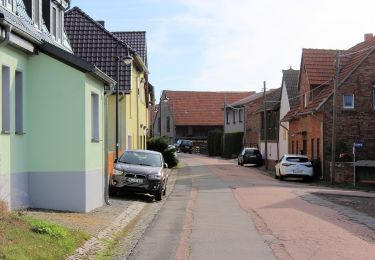
Randonnée A pied de 15 km à découvrir à Saxe-Anhalt, Mansfeld-Südharz, Sangerhausen. Cette randonnée est proposée par SityTrail - itinéraires balisés pédestres.
Symbole: Schwarzes Dreieck (Spitze oben) auf weißem Grund


A pied
A pied
A pied
A pied
A pied
A pied
A pied
A pied
A pied