


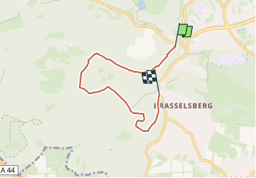

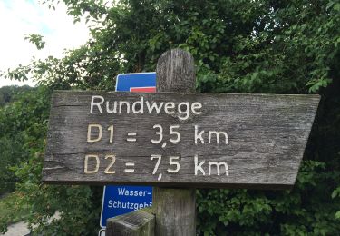
5,1 km | 7,1 km-effort

Tous les sentiers balisés d’Europe GUIDE+


Application GPS de randonnée GRATUITE
 SityTrail
IGN / Instituts géographiques
SityTrail World
Le monde est à vous
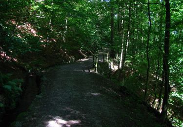
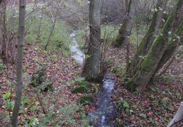
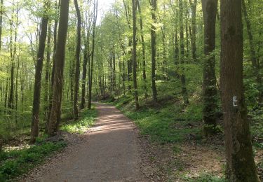
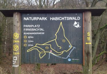
Randonnée A pied de 4,9 km à découvrir à Hesse, Cassel, Inconnu. Cette randonnée est proposée par SityTrail - itinéraires balisés pédestres.
Randonnée créée par Hessisch-Waldeckischer Gebirgs- und Heimatverein(HWGHV).


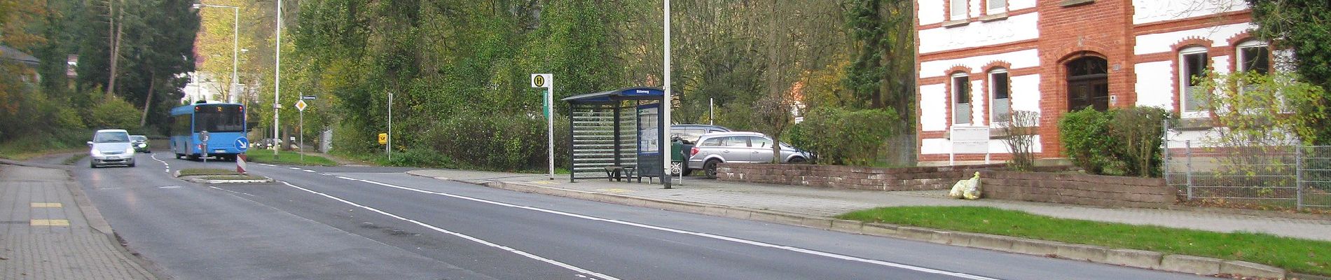
A pied

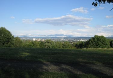
A pied

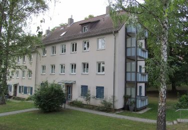
A pied
A pied
A pied
A pied