


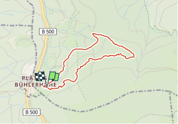

3,9 km | 4,5 km-effort

Tous les sentiers balisés d’Europe GUIDE+


Application GPS de randonnée GRATUITE
 SityTrail
IGN / Instituts géographiques
SityTrail World
Le monde est à vous
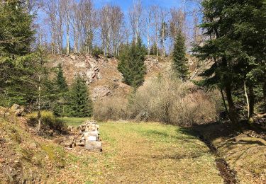
Randonnée A pied de 3,4 km à découvrir à Bade-Wurtemberg, Baden-Baden. Cette randonnée est proposée par SityTrail - itinéraires balisés pédestres.
approaches symbol as much as possible
Symbole: Black woodpecker siluhette on a white background in a green circle


A pied

A pied
A pied
A pied
A pied

Marche

Autre activité
Autre activité