


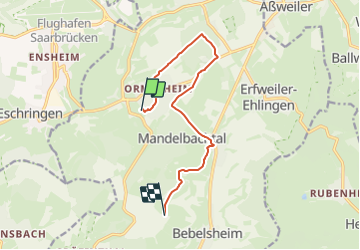

10 km | 13,7 km-effort

Tous les sentiers balisés d’Europe GUIDE+


Application GPS de randonnée GRATUITE
 SityTrail
IGN / Instituts géographiques
SityTrail World
Le monde est à vous
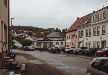
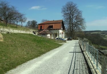
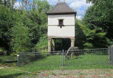
Randonnée A pied de 9,5 km à découvrir à Sarre, Saarpfalz-Kreis, Mandelbachtal. Cette randonnée est proposée par SityTrail - itinéraires balisés pédestres.
Randonnée créée par NaturFreunde Sektion Straßenbahn Saarbrücken.
Symbole: Rote Blumen über grünen Händen auf weißem Hintergrund


A pied
A pied
A pied
A pied
A pied
A pied
A pied
A pied
A pied