


4 km | 5,2 km-effort

Tous les sentiers balisés d’Europe GUIDE+


Application GPS de randonnée GRATUITE
 SityTrail
IGN / Instituts géographiques
SityTrail World
Le monde est à vous
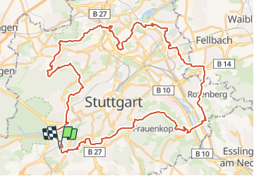
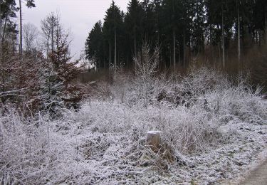
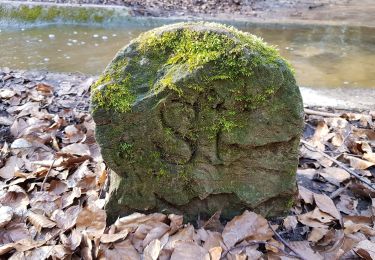
Randonnée A pied de 54 km à découvrir à Bade-Wurtemberg, Stuttgart, Inconnu. Cette randonnée est proposée par SityTrail - itinéraires balisés pédestres.
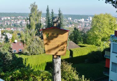
Symbole: Schwarzes Pferd in gelbem Ring auf weißem Hintergrund


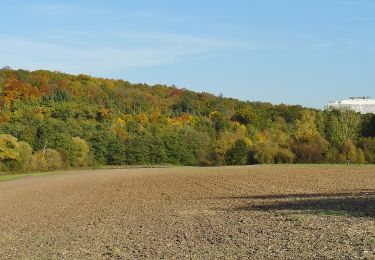
A pied

A pied
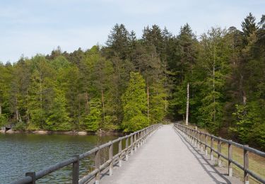
A pied
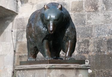
A pied
A pied
A pied
A pied
A pied
A pied