


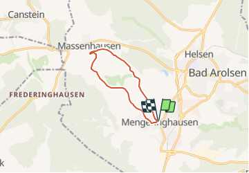

10,8 km | 14,5 km-effort


Tous les sentiers balisés d’Europe GUIDE+


Application GPS de randonnée GRATUITE
 SityTrail
IGN / Instituts géographiques
SityTrail World
Le monde est à vous
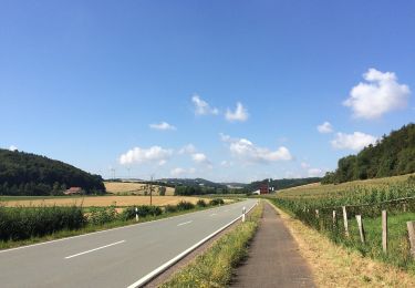
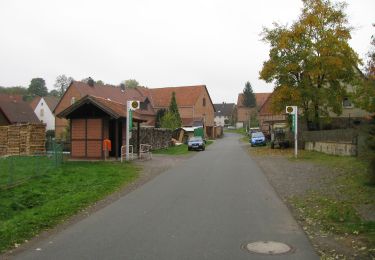
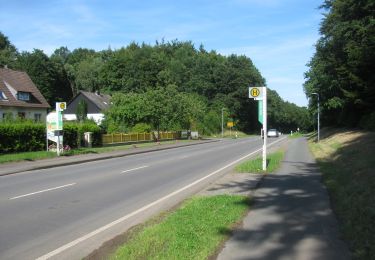
Randonnée A pied de 7,9 km à découvrir à Hesse, Landkreis Waldeck-Frankenberg, Bad Arolsen. Cette randonnée est proposée par SityTrail - itinéraires balisés pédestres.
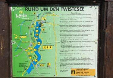
Symbole: gelb M6 auf blau

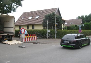
A pied
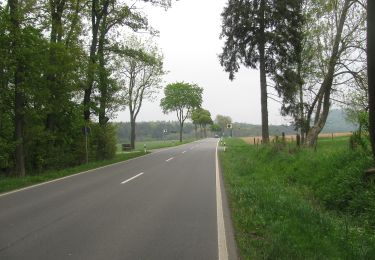
A pied
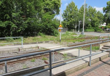
A pied
A pied
A pied
A pied
A pied
A pied

A pied