


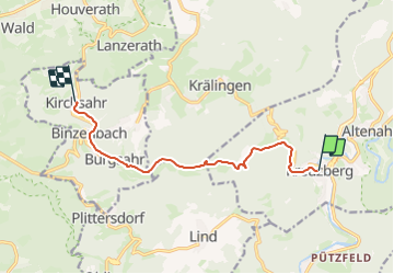

7,2 km | 11,9 km-effort

Tous les sentiers balisés d’Europe GUIDE+


Application GPS de randonnée GRATUITE
 SityTrail
IGN / Instituts géographiques
SityTrail World
Le monde est à vous
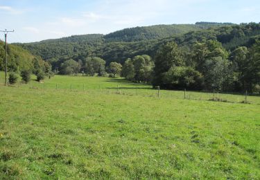
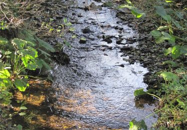
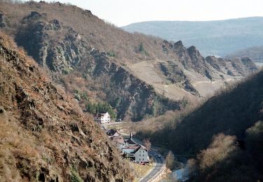
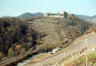
Randonnée A pied de 8,2 km à découvrir à Rhénanie-Palatinat, Landkreis Ahrweiler, Altenahr. Cette randonnée est proposée par SityTrail - itinéraires balisés pédestres.
Randonnée créée par Freundeskreis Sahrbachtal.
Symbole: Beschriftung Sahrbachweg über stilisierter blauer Flusschleife in S-Form


A pied
A pied
A pied
A pied
A pied
A pied
A pied
A pied
![Randonnée A pied Kesseling - [⑨] Rundweg Kesseling 9 - Photo](https://media.geolcdn.com/t/375/260/4dbbe2ae-b239-4136-9a63-e512e4629c8b.jpeg&format=jpg&maxdim=2)
A pied