


8,1 km | 9,8 km-effort

Tous les sentiers balisés d’Europe GUIDE+


Application GPS de randonnée GRATUITE
 SityTrail
IGN / Instituts géographiques
SityTrail World
Le monde est à vous
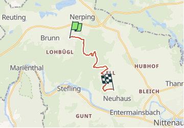
Randonnée A pied de 6,2 km à découvrir à Bavière, Landkreis Schwandorf, Nittenau. Cette randonnée est proposée par SityTrail - itinéraires balisés pédestres.
Randonnée créée par Stadt Nittenau.
FIXME: Bitte hilf mit, alle Wegsegmente zu erfassen.
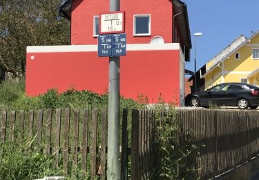
Symbole: Auf weißem Grund in schwarz ein A-förmiges Dreieck, an jeder Ecke ein Turm, horizontal querend eine Wellenlinie (Wasser), darunter Schriftzug "Drei Burgenweg"
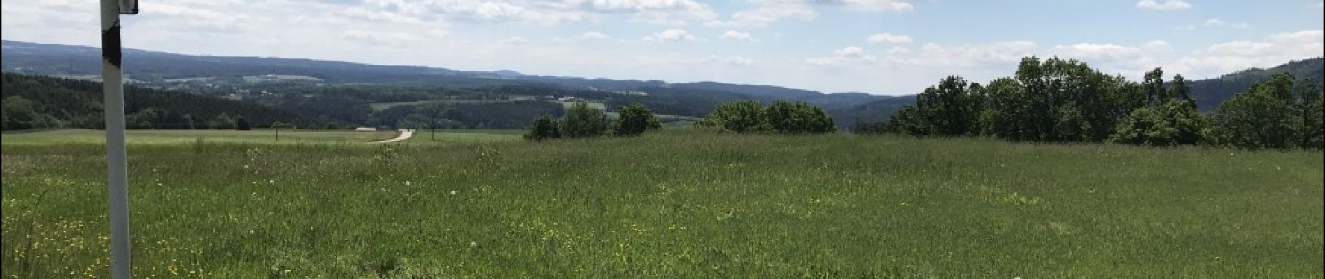
 - Photo 1")
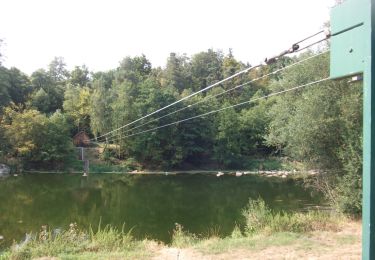
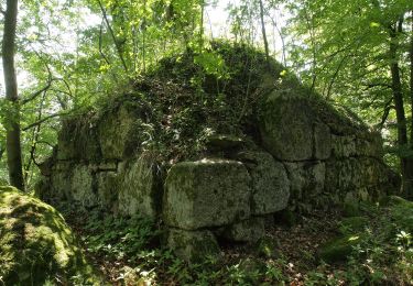
 - Photo 2")
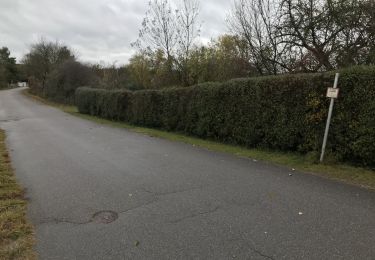
 - Photo 3")
A pied
A pied
A pied
A pied
A pied
A pied
A pied
A pied
A pied