![](/images/other/stat-length.png)
![Randonnée A pied Waldrach - RT1 - Photo](https://media.geolcdn.com/t/1900/400/8f5b3fc9-ca42-431f-babc-0124f8354220.jpeg&format=pjpeg&maxdim=2)
RT1
SityTrail - itinéraires balisés pédestres
Tous les sentiers balisés d’Europe GUIDE+
![Longueur](/images/other/stat-length.png)
![Altitude max](https://static1.geolcdn.com/siteimages/upload/files/1508320355ic_sort_altitude_max_24dp.png)
![Dénivelé positif](https://static1.geolcdn.com/siteimages/upload/files/1508320355ic_sort_den_pos_24dp.png)
![Km-Effort](/images/other/stat-length.png)
![Altitude min](https://static1.geolcdn.com/siteimages/upload/files/1508320355ic_sort_altitude_min_24dp.png)
![Dénivelé négatif](https://static1.geolcdn.com/siteimages/upload/files/1508320355ic_sort_den_neg_24dp.png)
![Boucle](https://static1.geolcdn.com/siteimages/upload/files/16400158638029165_repeat_loop_refresh_sync_direction_icon.png)
![A pied](https://static1.geolcdn.com/sitytour/trail-icons/100.png)
1h06
Difficulté : Facile
![Scannez ce code QR pour ouvrir la randonnée dans l'application SityTrail](https://capi.geolives.com/qq0zvz2zws4bq2lad0pu/sitytour/trails/3088119/qr.png?size=200)
Application GPS de randonnée GRATUITE
À propos
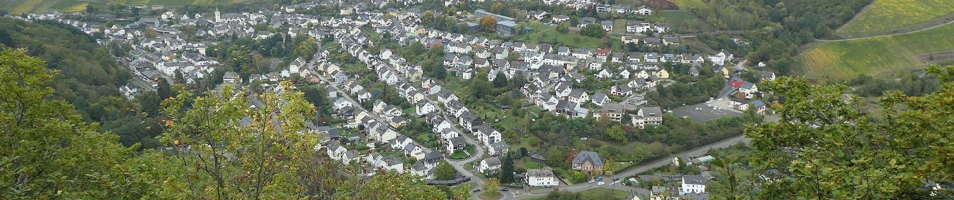
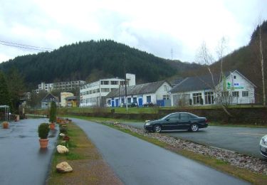
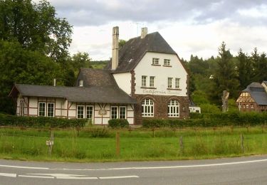
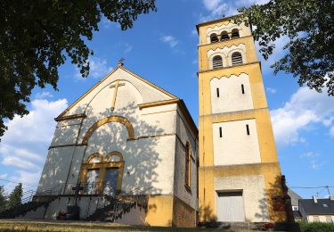
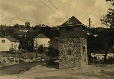
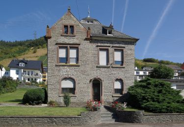
Randonnée A pied de 3,6 km à découvrir à Rhénanie-Palatinat, Landkreis Trier-Saarburg, Waldrach. Cette randonnée est proposée par SityTrail - itinéraires balisés pédestres.
Description
Randonnée créée par Naturpark Saar-Hunsrück.
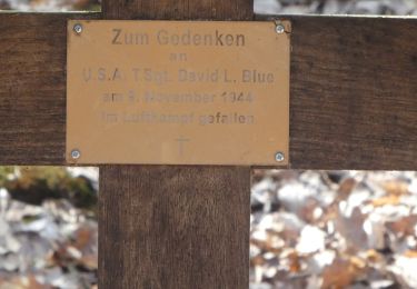
Wanderweg hatte vor 2013 die Bezeichnung RT2
Symbole: Roter Text RT1 in rotem Kreis auf weißem Grund
Localisation
Commentaires
Randonnées à proximité
![Randonnée A pied Gutweiler - Romika-Weg - Photo](https://media.geolcdn.com/t/375/260/644cbb1c-05bc-4e7a-906a-f58ae57c3aa1.jpeg&format=jpg&maxdim=2)
![A pied A pied](https://static1.geolcdn.com/sitytour/trail-icons/100.png)
A pied
![](/images/other/stat-length.png)
![](https://static1.geolcdn.com/siteimages/upload/files/16400158638029165_repeat_loop_refresh_sync_direction_icon.png)
![Randonnée A pied Kasel - DE-Ks1 - Photo](https://media.geolcdn.com/t/375/260/65bab8ad-8063-400d-b8bb-d69fbb53b547.jpeg&format=jpg&maxdim=2)
![A pied A pied](https://static1.geolcdn.com/sitytour/trail-icons/100.png)
A pied
![](/images/other/stat-length.png)
![](https://static1.geolcdn.com/siteimages/upload/files/16400158638029165_repeat_loop_refresh_sync_direction_icon.png)
![Randonnée A pied Morscheid - DE-R - Photo](https://media.geolcdn.com/t/375/260/0b0cdefd-fbad-4d79-acef-5a137d3e9a95.jpeg&format=jpg&maxdim=2)
![A pied A pied](https://static1.geolcdn.com/sitytour/trail-icons/100.png)
A pied
![](/images/other/stat-length.png)
![](https://static1.geolcdn.com/siteimages/upload/files/16400158638029165_repeat_loop_refresh_sync_direction_icon.png)
![Randonnée A pied Waldrach - Waldrach 2 - Photo](https://media.geolcdn.com/t/375/260/5223fab9-3bc2-41d1-a8df-c5d9f817918c.jpeg&format=jpg&maxdim=2)
![A pied A pied](https://static1.geolcdn.com/sitytour/trail-icons/100.png)
A pied
![](/images/other/stat-length.png)
![](https://static1.geolcdn.com/siteimages/upload/files/16400158638029165_repeat_loop_refresh_sync_direction_icon.png)
![Randonnée A pied Sommerau - Morscheider Grenzpfad - Photo](https://media.geolcdn.com/t/375/260/9327d8cb-60ee-4a45-a57a-e57e842f85f1.jpeg&format=jpg&maxdim=2)
![A pied A pied](https://static1.geolcdn.com/sitytour/trail-icons/100.png)
A pied
![](/images/other/stat-length.png)
![](https://static1.geolcdn.com/siteimages/upload/files/16400158638029165_repeat_loop_refresh_sync_direction_icon.png)
![Randonnée A pied Mertesdorf - Mertesdorf 1 - Photo](https://media.geolcdn.com/t/375/260/ecbb68e2-0c38-48d4-afe7-d9118f2e4b0e.jpeg&format=jpg&maxdim=2)
![A pied A pied](https://static1.geolcdn.com/sitytour/trail-icons/100.png)
A pied
![](/images/other/stat-length.png)
![](https://static1.geolcdn.com/siteimages/upload/files/16400158638029165_repeat_loop_refresh_sync_direction_icon.png)
![Randonnée A pied Inconnu - Korlingen 1 - Photo](https://media.geolcdn.com/t/375/260/8f5b3fc9-ca42-431f-babc-0124f8354220.jpeg&format=jpg&maxdim=2)
![A pied A pied](https://static1.geolcdn.com/sitytour/trail-icons/100.png)
A pied
![](/images/other/stat-length.png)
![](https://static1.geolcdn.com/siteimages/upload/files/16400158638029165_repeat_loop_refresh_sync_direction_icon.png)
![Randonnée A pied Fell - DE-R13 - Photo](https://media.geolcdn.com/t/375/260/f4565e92-61c1-4858-ab6f-f96d2dbccbfb.jpeg&format=jpg&maxdim=2)
![A pied A pied](https://static1.geolcdn.com/sitytour/trail-icons/100.png)
A pied
![](/images/other/stat-length.png)
![](https://static1.geolcdn.com/siteimages/upload/files/16400158638029165_repeat_loop_refresh_sync_direction_icon.png)
![Randonnée A pied Riveris - Riveristalsperre - Photo](https://media.geolcdn.com/t/375/260/9327d8cb-60ee-4a45-a57a-e57e842f85f1.jpeg&format=jpg&maxdim=2)
![A pied A pied](https://static1.geolcdn.com/sitytour/trail-icons/100.png)
A pied
![](/images/other/stat-length.png)
![](https://static1.geolcdn.com/siteimages/upload/files/16400158638029165_repeat_loop_refresh_sync_direction_icon.png)