


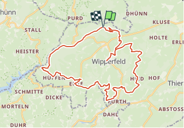

11,8 km | 14,8 km-effort

Tous les sentiers balisés d’Europe GUIDE+


Application GPS de randonnée GRATUITE
 SityTrail
IGN / Instituts géographiques
SityTrail World
Le monde est à vous
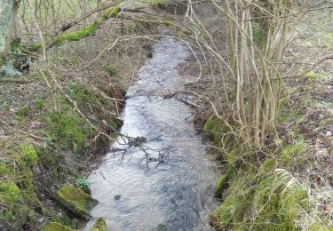
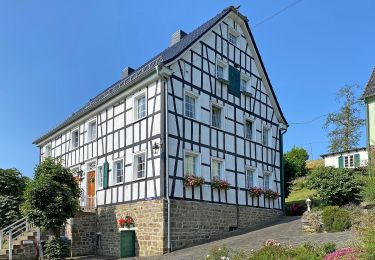
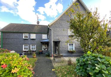
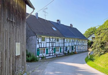
Randonnée A pied de 21 km à découvrir à Rhénanie-du-Nord-Westphalie, Oberbergischer Kreis, Wipperfürth. Cette randonnée est proposée par SityTrail - itinéraires balisés pédestres.
Randonnée créée par Sauerländischer Gebirgsverein.
Symbole: A4
 - Photo 1")
 - Photo 2")
 - Photo 3")
 - Photo 4")
 - Photo 5")
 - Photo 6")
 - Photo 7")
 - Photo 8")
 - Photo 9")
 - Photo 10")
A pied
A pied
A pied
A pied
![Randonnée A pied Wermelskirchen - [Vollquadrat] Burg - Dhünntalsperre - Photo](https://media.geolcdn.com/t/375/260/dd563847-bd51-41a0-a586-fb107f8dd368.jpeg&format=jpg&maxdim=2)
A pied

A pied
A pied
A pied
A pied