


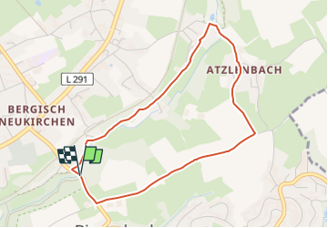

15,3 km | 18,6 km-effort


Tous les sentiers balisés d’Europe GUIDE+


Application GPS de randonnée GRATUITE
 SityTrail
IGN / Instituts géographiques
SityTrail World
Le monde est à vous
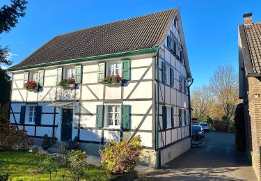
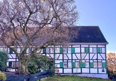
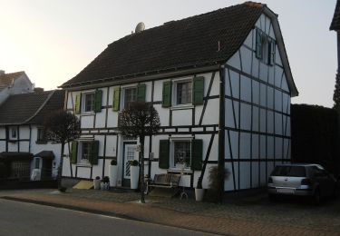
Randonnée A pied de 3,7 km à découvrir à Rhénanie-du-Nord-Westphalie, Leverkusen, Inconnu. Cette randonnée est proposée par SityTrail - itinéraires balisés pédestres.
Randonnée créée par VVV Bergisch-Neukirchen e.V..


A pied
A pied
![Randonnée A pied Leichlingen - [Quadrat] Solingen - Talsperre Diepental - Photo](https://media.geolcdn.com/t/375/260/edb471f7-af8b-4a96-981d-0a404cf8214c.jpeg&format=jpg&maxdim=2)
A pied
A pied
A pied
A pied
A pied
A pied
A pied