


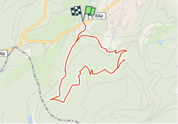

6,8 km | 11,4 km-effort

Tous les sentiers balisés d’Europe GUIDE+


Application GPS de randonnée GRATUITE
 SityTrail
IGN / Instituts géographiques
SityTrail World
Le monde est à vous
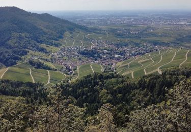
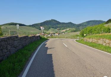
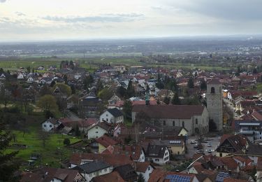
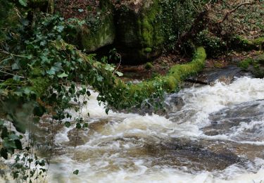
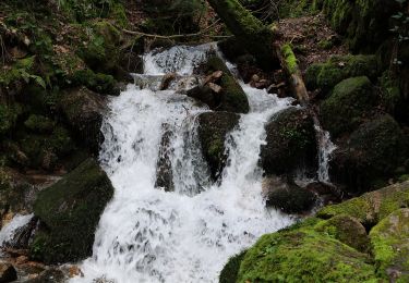
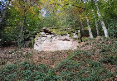
Randonnée A pied de 4,4 km à découvrir à Bade-Wurtemberg, Baden-Baden. Cette randonnée est proposée par SityTrail - itinéraires balisés pédestres.
Wanderung zur Aussichtsstelle am Korbmattenfelsen
Site web: https://visit.baden-baden.de/media/touren/korbmattfelsen-rundweg


A pied
A pied
A pied
A pied
A pied
A pied
A pied
A pied
A pied