


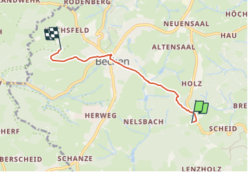

4,6 km | 5,8 km-effort

Tous les sentiers balisés d’Europe GUIDE+


Application GPS de randonnée GRATUITE
 SityTrail
IGN / Instituts géographiques
SityTrail World
Le monde est à vous
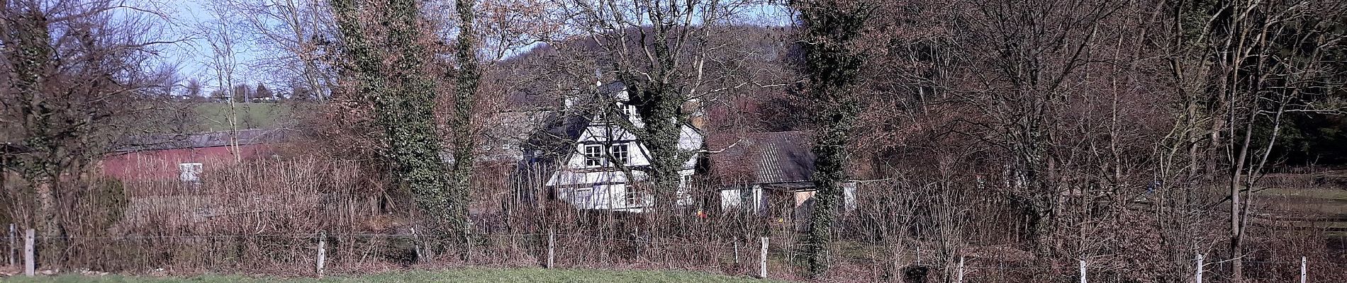
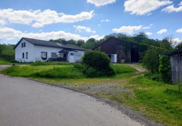
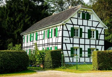
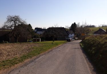
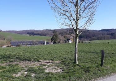
Randonnée A pied de 3,6 km à découvrir à Rhénanie-du-Nord-Westphalie, Rheinisch-Bergischer Kreis, Kürten. Cette randonnée est proposée par SityTrail - itinéraires balisés pédestres.
Randonnée créée par Sauerländischer Gebirgsverein.


A pied
A pied
A pied
A pied
A pied
A pied
A pied
![Randonnée A pied Bergisch Gladbach - [U] Rundweg Asselborn - Schiff - Hombach - Photo](https://media.geolcdn.com/t/375/260/538de2de-e757-46d2-b801-d02da58106d2.jpeg&format=jpg&maxdim=2)
A pied
A pied