


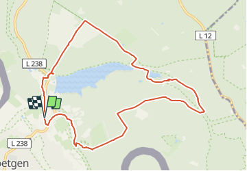

13,8 km | 16,1 km-effort

Tous les sentiers balisés d’Europe GUIDE+


Application GPS de randonnée GRATUITE
 SityTrail
IGN / Instituts géographiques
SityTrail World
Le monde est à vous
Randonnée A pied de 9,6 km à découvrir à Rhénanie-du-Nord-Westphalie, Région urbaine d'Aix-la-Chapelle, Roetgen. Cette randonnée est proposée par SityTrail - itinéraires balisés pédestres.
Symbole: blue wave on green square
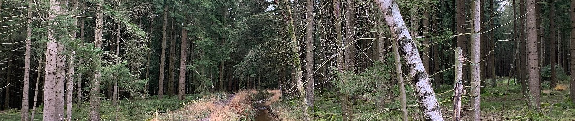
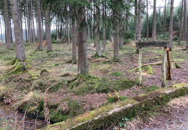
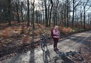
 - Photo 1")
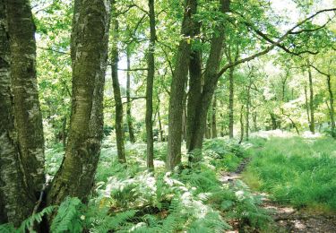
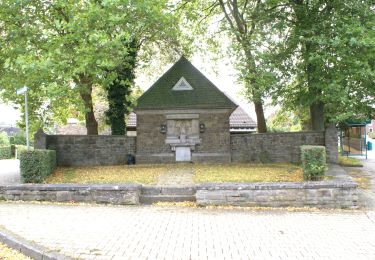
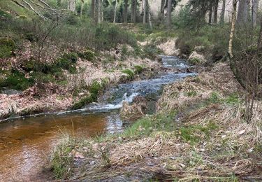
 - Photo 2")
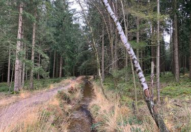
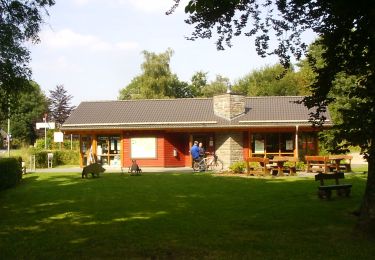
 - Photo 3")
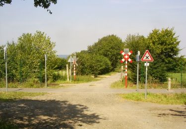
 - Photo 4")
 - Photo 5")
 - Photo 6")
 - Photo 7")
 - Photo 8")
 - Photo 9")
 - Photo 10")
Marche
A pied
A pied
A pied
A pied
A pied
A pied
Marche
💚 Coup de cœur pour cette rando. Les sentiers plus proches du lac ne sont pas accessibles.