


10,9 km | 13 km-effort


Tous les sentiers balisés d’Europe GUIDE+


Application GPS de randonnée GRATUITE
 SityTrail
IGN / Instituts géographiques
SityTrail World
Le monde est à vous
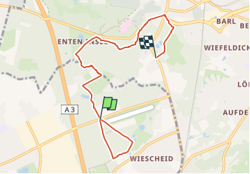
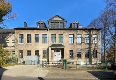
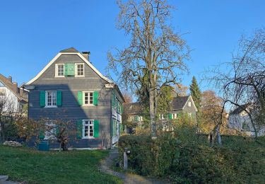
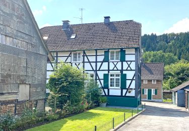
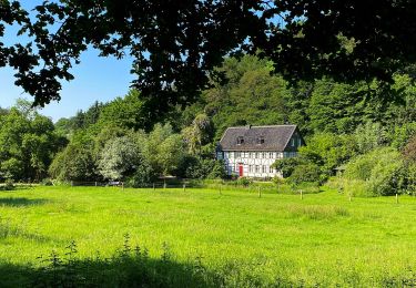
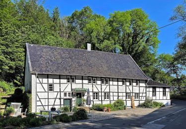
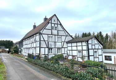
Randonnée A pied de 6,6 km à découvrir à Rhénanie-du-Nord-Westphalie, Kreis Mettmann, Langenfeld (Rheinland). Cette randonnée est proposée par SityTrail - itinéraires balisés pédestres.
Randonnée créée par Sauerländischer Gebirgsverein.
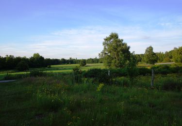
 - Engelsberg Rundweg A3 - Photo 1")
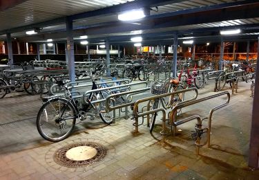
 - Engelsberg Rundweg A3 - Photo 2")
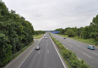
 - Engelsberg Rundweg A3 - Photo 3")
 - Engelsberg Rundweg A3 - Photo 4")
 - Engelsberg Rundweg A3 - Photo 5")
 - Engelsberg Rundweg A3 - Photo 6")
 - Engelsberg Rundweg A3 - Photo 7")
 - Engelsberg Rundweg A3 - Photo 8")
 - Engelsberg Rundweg A3 - Photo 9")
 - Engelsberg Rundweg A3 - Photo 10")
A pied
A pied
A pied
A pied
A pied
A pied
A pied
A pied
A pied