


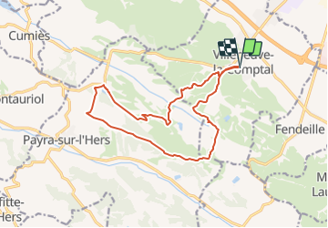

26 km | 33 km-effort


Utilisateur


Application GPS de randonnée GRATUITE
 SityTrail
IGN / Instituts géographiques
SityTrail World
Le monde est à vous
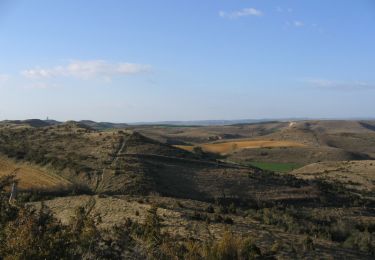
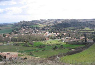
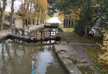
Randonnée Marche de 16,4 km à découvrir à Occitanie, Aude, Villeneuve-la-Comptal. Cette randonnée est proposée par jab31.
V.T.T.

Marche
Cyclotourisme
Marche

Marche
Marche
Bateau à moteur
Bateau à moteur