


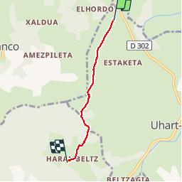

6,1 km | 8,9 km-effort


Utilisateur


Application GPS de randonnée GRATUITE
 SityTrail
IGN / Instituts géographiques
SityTrail World
Le monde est à vous
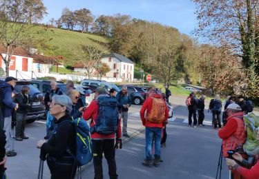
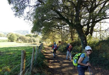
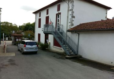
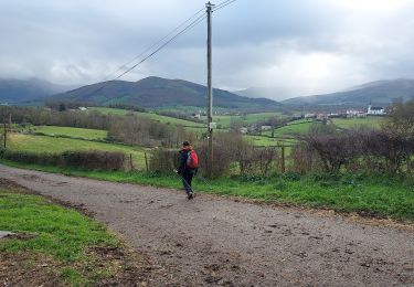
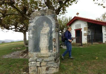
Randonnée Marche de 3,4 km à découvrir à Nouvelle-Aquitaine, Pyrénées-Atlantiques, Uhart-Mixe. Cette randonnée est proposée par coco03.
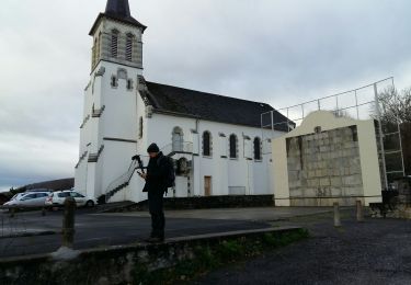
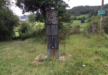
Sur le chemin de St Jacques de Compostelle, la Chapelle Soyarce et sa table d'orientation et enfin la Chapelle d'Harambels (l'intérieur est tout en bois)
7Km AR.

Marche
Marche
Marche
Marche
Marche
Marche
Marche
Marche
Marche