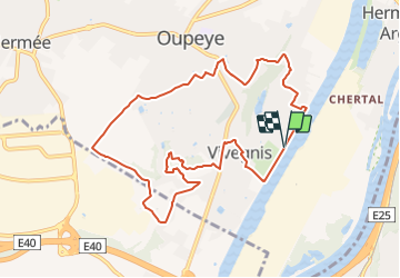

10,9 km | 12,6 km-effort

Tous les sentiers balisés d’Europe GUIDE+


Application GPS de randonnée GRATUITE
 SityTrail
IGN / Instituts géographiques
SityTrail World
Le monde est à vous
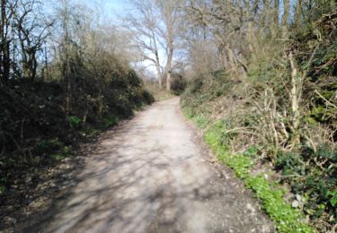
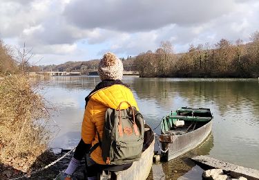
Randonnée A pied de 9,4 km à découvrir à Wallonie, Liège, Oupeye. Cette randonnée est proposée par SityTrail - itinéraires balisés pédestres.
Randonnée créée par Commune d'Oupeye.
Site web: https://www.oupeye.be/ma-commune/services-communaux/travaux-espaces-verts/balades/promenades-pedestres-balisees


Marche

Marche

Marche

Marche

Marche

Marche
Marche
Marche