


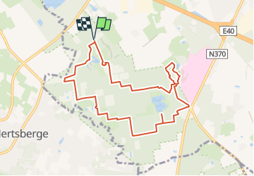

7,3 km | 8 km-effort

Tous les sentiers balisés d’Europe GUIDE+


Application GPS de randonnée GRATUITE
 SityTrail
IGN / Instituts géographiques
SityTrail World
Le monde est à vous
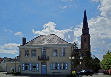
Randonnée A pied de 8,7 km à découvrir à Flandre, Flandre-Occidentale, Beernem. Cette randonnée est proposée par SityTrail - itinéraires balisés pédestres.
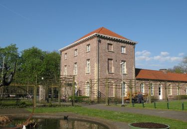
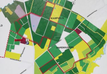
Deze wandelroute verkent het domein Bulskampveld, gelegen in het Landschapspark Bulskampveld.


A pied
A pied
A pied
A pied

Course à pied
A pied

Cheval

Marche
Course à pied