


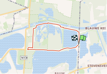

11,4 km | 12,2 km-effort

Tous les sentiers balisés d’Europe GUIDE+


Application GPS de randonnée GRATUITE
 SityTrail
IGN / Instituts géographiques
SityTrail World
Le monde est à vous
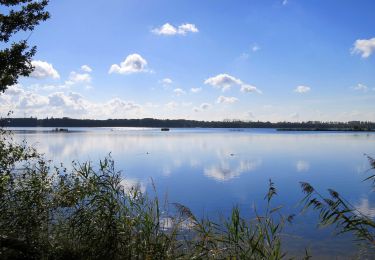
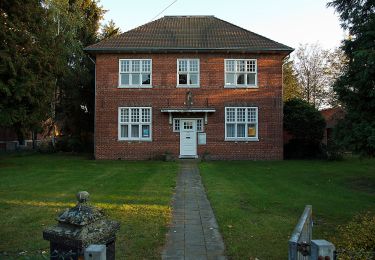
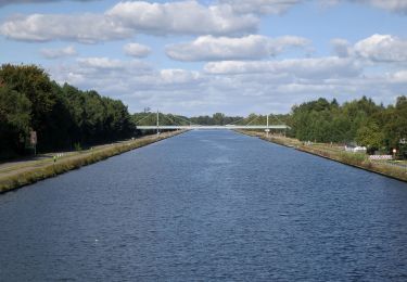
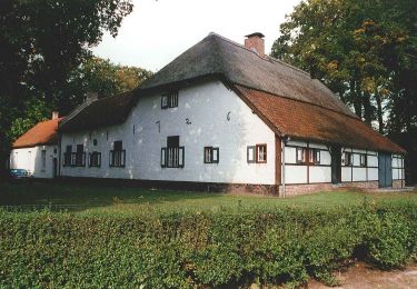
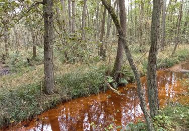
Randonnée A pied de 5,7 km à découvrir à Flandre, Limbourg, Lommel. Cette randonnée est proposée par SityTrail - itinéraires balisés pédestres.
Randonnée créée par Bosland.
Site web: https://www.natuurpunt.be/natuurgebied/buitengoor-de-maat-den-diel


A pied
A pied
A pied
A pied
Marche