


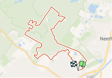

10,7 km | 11,5 km-effort

Tous les sentiers balisés d’Europe GUIDE+


Application GPS de randonnée GRATUITE
 SityTrail
IGN / Instituts géographiques
SityTrail World
Le monde est à vous
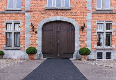
Randonnée A pied de 11,6 km à découvrir à Flandre, Limbourg, Lanaken. Cette randonnée est proposée par SityTrail - itinéraires balisés pédestres.
Randonnée créée par Regionaal Landschap Kempen en Maasland.
Symbole: triangle


Marche
Marche
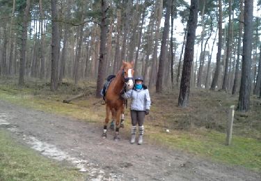
Randonnée équestre

A pied
A pied
A pied
A pied
A pied
A pied
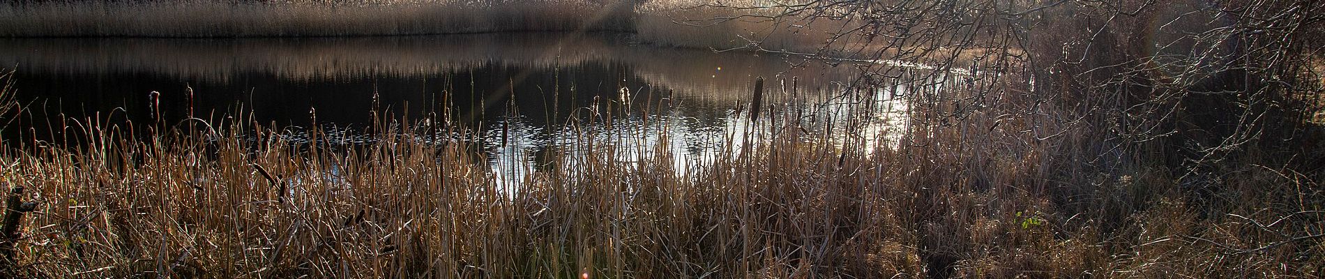
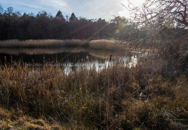
Magnifique parcours sur les beaux chemins forestiers et les sentiers sablonneux. Faite avec Luna 🐕