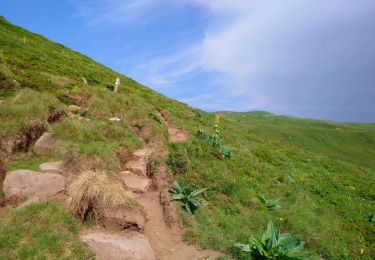
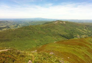
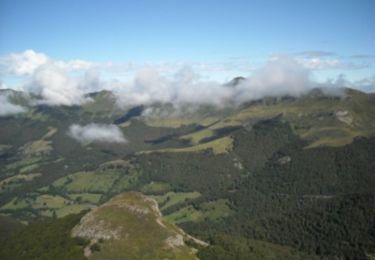
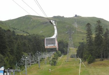
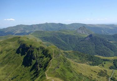
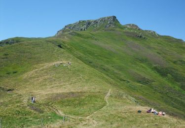
Randonnée Raquettes à neige Laveissière - Rocher du Bec de l'Aigle, Téton de Vénus et Puy Bataillouse en boucle - Photo

Rocher du Bec de l'Aigle, Téton de Vénus et Puy Bataillouse en boucle

 nicolas54230
nicolas54230

Utilisateur

© OpenStreetMap contributors
Longueur
Longueur
8,1 km
Altitude max
Altitude max
1685 m
Dénivelé positif
Dénivelé positif
587 m
Km-Effort
Km-Effort  
15,9 km
Altitude min
Altitude min
1197 m
Dénivelé négatif
Dénivelé négatif
587 m
Boucle
Boucle
Oui
Date de création :
2022-02-09 18:26:07.487
Dernière modification :
2022-02-09 18:26:52.153

(0 Avis)

Raquettes à neige
Raquettes à neige
--
Difficulté : Moyen

Scannez ce code QR pour ouvrir la randonnée dans l'application SityTrail

Application GPS de randonnée GRATUITE

Logo SityTrail SityTrail

IGN / Instituts géographiques

Télécharger SityTrail sur l'App Store Télécharger SityTrail sur Google Play

Logo SityTrail SityTrail World

Le monde est à vous

Télécharger SityTrail sur l'App Store Télécharger SityTrail sur Google Play Télécharger SityTrail sur Huawei AppGallery

À propos

Randonnée Raquettes à neige de 8,1 km à découvrir à Auvergne-Rhône-Alpes, Cantal, Laveissière. Cette randonnée est proposée par nicolas54230.

Profil altimétrique

Points d'intérêt

Point d'intérêt Laveissière - Parking - Photo
nicolas54230
LAVEISSIÈRE 
Point d'intérêt Laveissière - Carrefour de la boucle - Photo
nicolas54230
Point d'intérêt Laveissière - Carrefour de sentiers - Photo
nicolas54230
LAVEISSIÈRE 
Point d'intérêt Lavigerie - Portillon métallique - Photo
nicolas54230
Point d'intérêt Mandailles-Saint-Julien - Bifurcation Nord-Ouest - Photo
nicolas54230
MANDAILLES-SAINT-JULIEN 
Point d'intérêt Mandailles-Saint-Julien - Bifurcation à 90° - Photo
nicolas54230
MANDAILLES-SAINT-JULIEN 
Point d'intérêt Mandailles-Saint-Julien - Bifurcation Nord-Est - Photo
nicolas54230
MANDAILLES-SAINT-JULIEN 
Point d'intérêt Laveissière - Carrefour de sentiers. Proche de la source de l' - Photo
nicolas54230
Point d'intérêt Laveissière - Buron de Meige Costes - Photo
nicolas54230
LAVEISSIÈRE 
Point d'intérêt Laveissière - Carrefour sentier, route - Photo
nicolas54230
Point d'intérêt Laveissière - Parking - Photo
nicolas54230
LAVEISSIÈRE 

Localisation

Pays :
France
Région :
Auvergne-Rhône-Alpes
Département/Province :
Cantal
Commune :
Laveissière
Localité :
Unknown
Départ:(Dec)
Départ:(UTM)
479793 ; 4992753 (31T) N.

Randonnées à proximité

Randonnée Marche Albepierre-Bredons - Cantal - Col de Prat de Bouc Le Plomb du Cantal - 8.2km 450m 2h45 - 2019 07 06 - Photo
Marche
GUIDE
Orcal37

Marche

Moyen
(1)
Albepierre-Bredons, Auvergne-Rhône-Alpes, Cantal, France
8,2 km | 14,2 km-effort
2h 45min
Oui
Randonnée Marche Lavigerie - Le Puy de Peyre Arse depuis la Gravière - Photo
Marche
tracegps

Marche

Difficile
(2)
Lavigerie, Auvergne-Rhône-Alpes, Cantal, France
11,2 km | 21 km-effort
4h 0min
Oui
Randonnée Marche Laveissière - Le Puy Griou de Super Lioran - Photo
Marche
tracegps

Marche

Moyen
(2)
Laveissière, Auvergne-Rhône-Alpes, Cantal, France
11,9 km | 19,7 km-effort
5h 0min
Oui
Randonnée Marche Laveissière - Le plomb du Cantal - Le Lioran - Photo
Marche
tracegps

Marche

Moyen
(1)
Laveissière, Auvergne-Rhône-Alpes, Cantal, France
14,4 km | 27 km-effort
6h 0min
Oui
Randonnée Marche Laveissière - Les crêtes du Cantal - Le Lioran - Photo
Marche
tracegps

Marche

Difficile
(4)
Laveissière, Auvergne-Rhône-Alpes, Cantal, France
28 km | 51 km-effort
7h 30min
Oui
Randonnée Marche Laveissière - le Peyre Arse - Le Lioran - Photo
Marche
tracegps

Marche

Difficile
(1)
Laveissière, Auvergne-Rhône-Alpes, Cantal, France
11,2 km | 19,4 km-effort
4h 0min
Non
Randonnée Marche Laveissière - Lioran 2023-08-18 Col de Rombière Col du Pertus A/R - Photo
Marche
marionneau

Marche

Facile
(1)
Laveissière, Auvergne-Rhône-Alpes, Cantal, France
12,5 km | 18,8 km-effort
4h 14min
Oui
Randonnée Marche Laveissière - Lioran 2023-08-11 Col du Pertus - Photo
Marche
marionneau

Marche

Moyen
(1)
Laveissière, Auvergne-Rhône-Alpes, Cantal, France
17,3 km | 25 km-effort
2h 57min
Oui
Randonnée Marche Laveissière - Lioran 2023-08-09 Puy de Seycheuse - Photo
Marche
marionneau

Marche

Très difficile
(1)
Laveissière, Auvergne-Rhône-Alpes, Cantal, France
13,9 km | 23 km-effort
5h 20min
Oui


Fermer
Mes abonnements