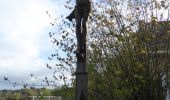

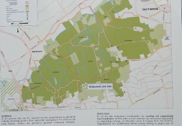
Tieltse Motte Oranje bol
SityTrail - itinéraires balisés pédestres
Tous les sentiers balisés d’Europe GUIDE+

Longueur
8,4 km

Altitude max
76 m

Dénivelé positif
88 m

Km-Effort
9,5 km

Altitude min
28 m

Dénivelé négatif
86 m
Boucle
Oui
Balise
Date de création :
2022-02-09 15:33:20.953
Dernière modification :
2022-02-09 18:09:34.034
2h10
Difficulté : Facile

Application GPS de randonnée GRATUITE
À propos
Randonnée A pied de 8,4 km à découvrir à Flandre, Brabant flamand, Tielt-Winge. Cette randonnée est proposée par SityTrail - itinéraires balisés pédestres.
Description
Randonnée créée par Regionaal Landschap Noord-Hageland.
Symbole: dot
Localisation
Pays :
Belgique
Région :
Flandre
Département/Province :
Brabant flamand
Commune :
Tielt-Winge
Localité :
Tielt
Départ:(Dec)
Départ:(UTM)
634465 ; 5643912 (31U) N.
Commentaires
Randonnées à proximité
Boomgaardenwandelpad


A pied
Facile
Glabbeek,
Flandre,
Brabant flamand,
Belgique

7,9 km | 8,8 km-effort
1h 59min
Oui

Rillaarse Heuvelswandeling


A pied
Facile
Aerschot,
Flandre,
Brabant flamand,
Belgique

12,2 km | 14,6 km-effort
3h 18min
Oui
Tieltse Motte Rode driehoek


A pied
Facile
Tielt-Winge,
Flandre,
Brabant flamand,
Belgique

10,3 km | 11,6 km-effort
2h 38min
Oui

Houwaert kerk


Marche
Très facile
(2)
Tielt-Winge,
Flandre,
Brabant flamand,
Belgique

8,7 km | 10,1 km-effort
2h 34min
Oui

La randonnée d’Alsberg et son escalier d’observation


Marche
Moyen
(1)
Tielt-Winge,
Flandre,
Brabant flamand,
Belgique

6,4 km | 7,3 km-effort
1h 39min
Oui

menroute witte astilbe


Cheval
Très facile
(1)
Lubbeek,
Flandre,
Brabant flamand,
Belgique

12,2 km | 13,7 km-effort
1h 45min
Oui
A la découverte de Tielt 🥾


Marche
Très facile
Tielt-Winge,
Flandre,
Brabant flamand,
Belgique

6,7 km | 7,6 km-effort
1h 35min
Oui

Tienbundersbos Gele bol


A pied
Facile
Tielt-Winge,
Flandre,
Brabant flamand,
Belgique

4 km | 4,9 km-effort
1h 7min
Oui
casteel van horst


Marche
Très facile
Tielt-Winge,
Flandre,
Brabant flamand,
Belgique

18,6 km | 21 km-effort
4h 38min
Oui


 SityTrail


