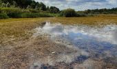

Donderslag Blauwe ruit
SityTrail - itinéraires balisés pédestres
Tous les sentiers balisés d’Europe GUIDE+

Longueur
8,6 km

Altitude max
95 m

Dénivelé positif
64 m

Km-Effort
9,4 km

Altitude min
71 m

Dénivelé négatif
66 m
Boucle
Oui
Balise
Date de création :
2022-02-09 15:33:11.223
Dernière modification :
2022-02-09 18:09:22.366
2h08
Difficulté : Facile

Application GPS de randonnée GRATUITE
À propos
Randonnée A pied de 8,6 km à découvrir à Flandre, Limbourg, Oudsbergen. Cette randonnée est proposée par SityTrail - itinéraires balisés pédestres.
Description
Randonnée créée par Regionaal Landschap Kempen en Maasland.
Symbole: diamond
Localisation
Pays :
Belgique
Région :
Flandre
Département/Province :
Limbourg
Commune :
Oudsbergen
Localité :
Wijshagen
Départ:(Dec)
Départ:(UTM)
676759 ; 5659271 (31U) N.
Commentaires
Randonnées à proximité
Moorsberg Paarse trapezium


A pied
Facile
Oudsbergen,
Flandre,
Limbourg,
Belgique

6,3 km | 7 km-effort
1h 35min
Oui
Heiderbos blauwe ruit


A pied
Facile
As,
Flandre,
Limbourg,
Belgique

7,7 km | 8,5 km-effort
1h 56min
Oui

Oudsberg Blauwe ruit


A pied
Facile
Oudsbergen,
Flandre,
Limbourg,
Belgique

4 km | 4,5 km-effort
1h 0min
Oui

Oudsberg Gele zeshoek


A pied
Facile
Oudsbergen,
Flandre,
Limbourg,
Belgique

10,3 km | 11,5 km-effort
2h 37min
Oui
Oudsberg Rode driehoek


A pied
Facile
Oudsbergen,
Flandre,
Limbourg,
Belgique

13,9 km | 15,6 km-effort
3h 32min
Oui

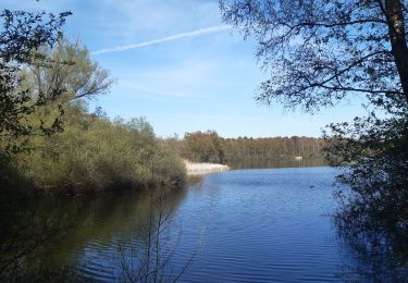
petit tour dans la réserve naturelle du Hengelhoef


Marche
Très facile
Houthalen-Helchteren,
Flandre,
Limbourg,
Belgique

4,8 km | 5,4 km-effort
1h 24min
Oui

hengelhoef vakantiepark


Marche
Très facile
(1)
Houthalen-Helchteren,
Flandre,
Limbourg,
Belgique

6 km | 6,6 km-effort
1h 18min
Oui

opglabbeek le 24.12.2011


Marche
Très facile
(1)
Oudsbergen,
Flandre,
Limbourg,
Belgique

16,2 km | 18 km-effort
Inconnu
Oui


 SityTrail


