


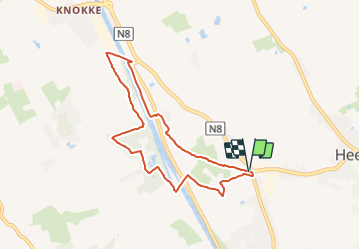

5,8 km | 6,3 km-effort

Tous les sentiers balisés d’Europe GUIDE+


Application GPS de randonnée GRATUITE
 SityTrail
IGN / Instituts géographiques
SityTrail World
Le monde est à vous
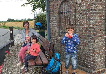
Randonnée A pied de 6,7 km à découvrir à Flandre, Flandre-Occidentale, Zwevegem. Cette randonnée est proposée par SityTrail - itinéraires balisés pédestres.
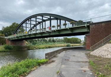
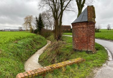
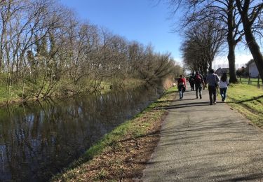
De Orveytwandelroute neemt je mee langs het kanaal Bossuit-Kortrijk en het Orveytbos.


A pied
A pied

Marche
Marche
Marche
Marche
Marche
Vélo

Cheval