


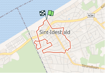

4,5 km | 4,8 km-effort

Tous les sentiers balisés d’Europe GUIDE+


Application GPS de randonnée GRATUITE
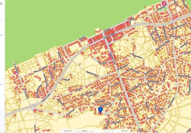
 SityTrail
IGN / Instituts géographiques
SityTrail World
Le monde est à vous
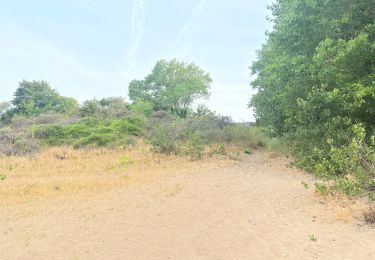
Randonnée A pied de 3,4 km à découvrir à Flandre, Flandre-Occidentale, Coxyde. Cette randonnée est proposée par SityTrail - itinéraires balisés pédestres.
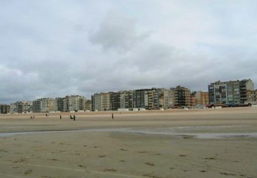
Laat je verrassen door deze pittoreske badplaats.


Marche

V.T.T.
Marche
Marche
Marche
A pied
A pied
A pied
A pied