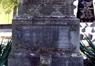
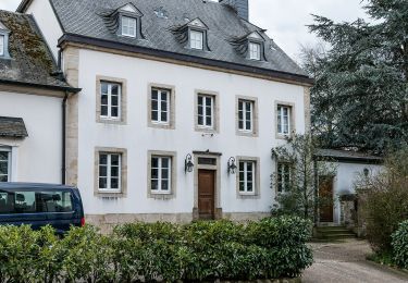
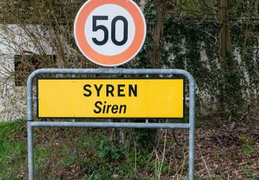
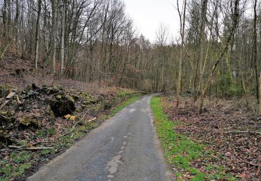
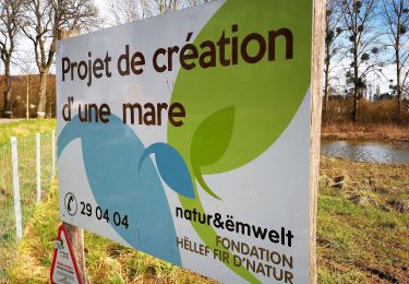
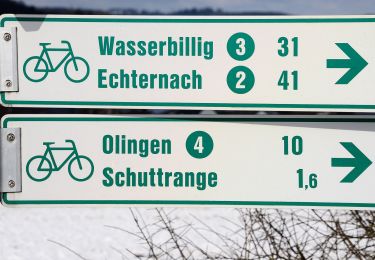
11,3 km | 14,4 km-effort
Mühlenrundweg
SityTrail - itinéraires balisés pédestres
Tous les sentiers balisés d’Europe GUIDE+
Longueur
5,3 km
Altitude max
365 m
Dénivelé positif
145 m
Km-Effort
7,2 km
Altitude min
249 m
Dénivelé négatif
141 m
Boucle
Oui
Balise
Date de création :
2022-02-09 15:30:48.407
Dernière modification :
2022-02-09 18:07:41.445
1h38
Difficulté : Facile
Application GPS de randonnée GRATUITE
À propos
Randonnée A pied de 5,3 km à découvrir à Inconnu, Canton Luxembourg, Schuttrange. Cette randonnée est proposée par SityTrail - itinéraires balisés pédestres.
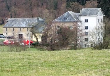
Localisation
Pays :
Luxembourg
Région :
Inconnu
Département/Province :
Canton Luxembourg
Commune :
Schuttrange
Localité :
Unknown
Départ:(Dec)
Départ:(UTM)
301760 ; 5499373 (32U) N.
Commentaires
Randonnées à proximité
Daller Trëppeltour
A pied
Facile
Waldbredimus,
Inconnu,
Canton Remich,
Luxembourg
4,1 km | 5,7 km-effort
1h 17min
Oui
Fleche Bleu Contern
A pied
Facile
Contern,
Inconnu,
Canton Luxembourg,
Luxembourg
11,2 km | 14,1 km-effort
3h 12min
Oui
Natur-Kulturpad Conter-Syren
A pied
Facile
Contern,
Inconnu,
Canton Luxembourg,
Luxembourg
7,7 km | 10,1 km-effort
2h 17min
Oui
Auto Pédestre Oetrange
A pied
Facile
Contern,
Inconnu,
Canton Luxembourg,
Luxembourg
11,6 km | 14,2 km-effort
3h 14min
Oui
Sentier Naturel autour de Dupont
A pied
Facile
Hesperange,
Inconnu,
Canton Luxembourg,
Luxembourg
4 km | 4,9 km-effort
1h 6min
Oui
Fleche Bleu Sandweiler
A pied
Facile
Niederanven,
Inconnu,
Canton Luxembourg,
Luxembourg
5,3 km | 7,1 km-effort
1h 37min
Oui
Fleche Bleu Mensdorf
A pied
Facile
Betzdorf,
Inconnu,
Canton Grevenmacher,
Luxembourg
10,2 km | 13,1 km-effort
2h 59min
Oui
Fleche Bleu Schuttrange
A pied
Facile
Schuttrange,
Inconnu,
Canton Luxembourg,
Luxembourg
4,8 km | 5,9 km-effort
1h 19min
Oui