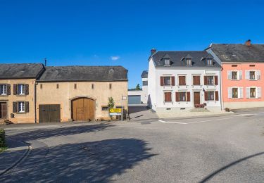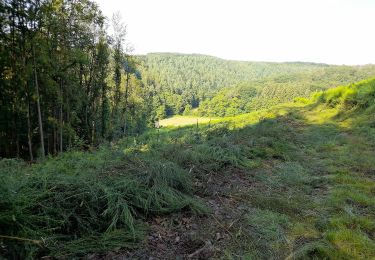

Auto-pédestre : Grosbous
SityTrail - itinéraires balisés pédestres
Tous les sentiers balisés d’Europe GUIDE+

Longueur
8,4 km

Altitude max
485 m

Dénivelé positif
208 m

Km-Effort
11,2 km

Altitude min
346 m

Dénivelé négatif
213 m
Boucle
Oui
Balise
Date de création :
2022-02-09 15:11:44.382
Dernière modification :
2022-02-09 17:56:27.322
2h32
Difficulté : Facile

Application GPS de randonnée GRATUITE
À propos
Randonnée A pied de 8,4 km à découvrir à Inconnu, Canton Redange, Grosbous. Cette randonnée est proposée par SityTrail - itinéraires balisés pédestres.
Description
Symbole: Blue triangle (indicating the direction: left or right) on white ground
Localisation
Pays :
Luxembourg
Région :
Inconnu
Département/Province :
Canton Redange
Commune :
Grosbous
Localité :
Unknown
Départ:(Dec)
Départ:(UTM)
711596 ; 5525323 (31U) N.
Commentaires
Randonnées à proximité

Auto Pédestre Reimberg


A pied
Facile
Préizerdaul,
Inconnu,
Canton Redange,
Luxembourg

5,2 km | 6,6 km-effort
1h 29min
Oui

Fleche Bleu Bettborn


A pied
Facile
Préizerdaul,
Inconnu,
Canton Redange,
Luxembourg

9,9 km | 12,9 km-effort
2h 55min
Oui

rindschleiden


Marche
Difficile
Wahl,
Inconnu,
Canton Redange,
Luxembourg

14,1 km | 18,3 km-effort
4h 9min
Oui

Autopedestres : Vichten


Marche
Très facile
Vichten,
Inconnu,
Canton Redange,
Luxembourg

11,1 km | 14,8 km-effort
Inconnu
Oui

Autopedestres : Reimberg 2


Marche
Très facile
(1)
Préizerdaul,
Inconnu,
Canton Redange,
Luxembourg

5,1 km | 6,4 km-effort
Inconnu
Oui

Autopedestres : Heiderscheid


Marche
Très facile
(1)
Esch-sur-Sûre,
Inconnu,
Canton Wiltz,
Luxembourg

7,9 km | 12 km-effort
Inconnu
Oui

Autopedestres : Grosbous


Marche
Très facile
Grosbous,
Inconnu,
Canton Redange,
Luxembourg

8,4 km | 11,2 km-effort
Inconnu
Oui

Autopedestres : Eschdorf 1


Marche
Très facile
(1)
Esch-sur-Sûre,
Inconnu,
Canton Wiltz,
Luxembourg

7,3 km | 9,8 km-effort
Inconnu
Oui

LUX_Heiderscheid_Dirbech_16km


Marche
Moyen
Esch-sur-Sûre,
Inconnu,
Canton Wiltz,
Luxembourg

16 km | 23 km-effort
4h 47min
Oui


 SityTrail


