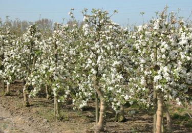
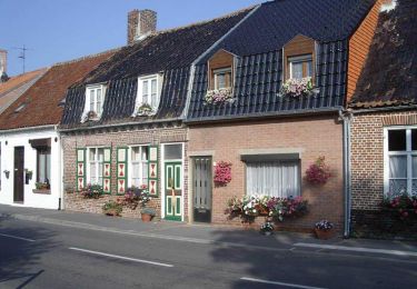
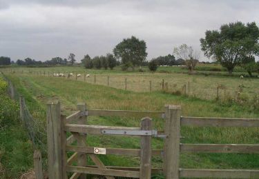
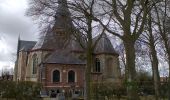
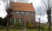
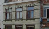
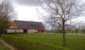
Randonnée A pied Poperinge - Dode IJzer wandelroute - Photo

Tous les sentiers balisés d’Europe GUIDE+

© OpenStreetMap contributors
Longueur
Longueur
7,1 km
Altitude max
Altitude max
9 m
Dénivelé positif
Dénivelé positif
28 m
Km-Effort
Km-Effort  
7,4 km
Altitude min
Altitude min
-1 m
Dénivelé négatif
Dénivelé négatif
27 m
Boucle
Boucle
Oui
Balise
Balise
Date de création :
2022-02-09 15:08:22.141
Dernière modification :
2022-02-09 17:54:25.12

(0 Avis)

A pied
A pied
1h41
Difficulté : Facile

Scannez ce code QR pour ouvrir la randonnée dans l'application SityTrail

Application GPS de randonnée GRATUITE

Logo SityTrail SityTrail
IGN / Instituts géographiques

Télécharger SityTrail sur l'App Store Télécharger SityTrail sur Google Play

Logo SityTrail SityTrail World
Le monde est à vous

Télécharger SityTrail sur l'App Store Télécharger SityTrail sur Google Play Télécharger SityTrail sur Huawei AppGallery

À propos

Randonnée A pied de 7,1 km à découvrir à Flandre, Flandre-Occidentale, Poperinge. Cette randonnée est proposée par SityTrail - itinéraires balisés pédestres.

Description

Verken de omgeving van Poperinge en Roesbrugge-Haringe. Je start aan de Dode IJzer, een oude meander van de stroom die door het centrum van Roesbrugge vloeit. Een natuurexploratiepad leidt langs de Zwijnbeek, de IJzer en de Heidebeek. Zij vormen een natuurlijke landsgrens. Via land-, kerk- en rustige wegen kom je in het pittoreske dorpje Haringe. De stille wegen kenmerken deze

Profil altimétrique

Photos

Localisation

Pays :
Belgique
Région :
Flandre
Département/Province :
Flandre-Occidentale
Commune :
Poperinge
Localité :
Roesbrugge-Haringe
Départ:(UTM)
473482 ; 5641023 (31U) N.

Randonnées à proximité

Randonnée Cheval Herzeele - Orgues d'Herzeele et moulin de l'Hofland - Herzeele - Photo
Cheval
tracegps

Cheval

Facile
Herzeele, Hauts-de-France, Nord, France
12,7 km | 13,4 km-effort
1h 45min
Oui
Randonnée Marche Houtkerque - Aux quatre extrémités d'Houtkerque - Photo
Marche
tracegps

Marche

Difficile
Houtkerque, Hauts-de-France, Nord, France
13,9 km | 14,7 km-effort
3h 30min
Oui
Randonnée Marche Oost-Cappel - Dode Yjzer via Oost-Cappel - Photo
Marche
tracegps

Marche

Moyen
Oost-Cappel, Hauts-de-France, Nord, France
11,5 km | 12,1 km-effort
2h 49min
Oui
Randonnée Marche Poperinge - Roesbrugge naar Haringe Groen Stilte - 7 km RT - Photo
Marche
wandelroutes

Marche

Très facile
Poperinge, Flandre, Flandre-Occidentale, Belgique
6,9 km | 7,3 km-effort
Inconnu
Oui
Randonnée Marche Poperinge - Roesbrugge langs IJzer - 13 km RT - Photo
Marche
wandelroutes

Marche

Très facile
Poperinge, Flandre, Flandre-Occidentale, Belgique
13,7 km | 14,4 km-effort
Inconnu
Oui
Randonnée Marche Alveringem - Brouckmolenwandelroute - Photo
Marche
wandelroutes

Marche

Très facile
Alveringem, Flandre, Flandre-Occidentale, Belgique
9,8 km | 10,3 km-effort
Inconnu
Oui
Randonnée V.T.C. Hondschoote - ons kot - Photo
V.T.C.
project32

V.T.C.

Très facile
Hondschoote, Hauts-de-France, Nord, France
40 km | 41 km-effort
3h 52min
Oui
Randonnée Marche Poperinge - Roesbrugge - Photo
Marche
JanDeprez

Marche

Très facile
Poperinge, Flandre, Flandre-Occidentale, Belgique
19,8 km | 21 km-effort
4h 0min
Oui


Fermer
Mes abonnements