


9,5 km | 12 km-effort

Utilisateur


Application GPS de randonnée GRATUITE
 SityTrail
IGN / Instituts géographiques
SityTrail World
Le monde est à vous
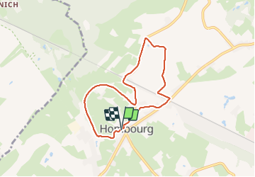
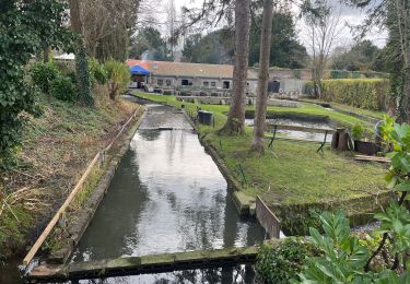
Randonnée Marche de 6,3 km à découvrir à Wallonie, Liège, Plombières. Cette randonnée est proposée par Bob4800.
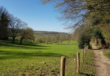
Belle balade sous un peu de soleil, ciel bleu, pas de pluie. Chemins macadamisés entre prairies et villages, un peu de ravel, quelques tronçons de sentiers légèrement boueux.


Marche

Marche

Marche
Marche

Marche
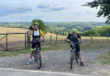
V.T.T.
Marche
V.T.T.
Marche