


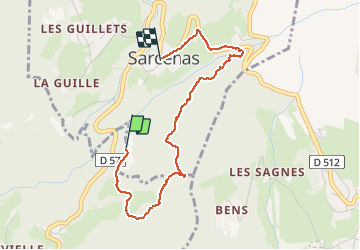

10,9 km | 26 km-effort


Utilisateur


Application GPS de randonnée GRATUITE
 SityTrail
IGN / Instituts géographiques
SityTrail World
Le monde est à vous
Randonnée Marche de 3,4 km à découvrir à Auvergne-Rhône-Alpes, Isère, Quaix-en-Chartreuse. Cette randonnée est proposée par patjobou.
Sympa pour une petite balade.
Compter une heure et demi pour le tour complet; prévoir GPS car nombreux chemins forestiers; éviter après pluies.

Marche

Marche

Ski de randonnée

Marche

Ski de randonnée

Marche

V.T.T.

Marche
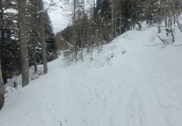
Ski de randonnée