


15,9 km | 17,1 km-effort


Club randonnées SERVON


Application GPS de randonnée GRATUITE
 SityTrail
IGN / Instituts géographiques
SityTrail World
Le monde est à vous
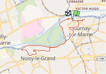
Randonnée A pied de 11,6 km à découvrir à Île-de-France, Seine-Saint-Denis, Gournay-sur-Marne. Cette randonnée est proposée par Les 1000 pattes.
Parking Rue Jean Leonardi à Gournay sur Marne (près du château)
Trajet Servon-->Parking (24km: 28mn)
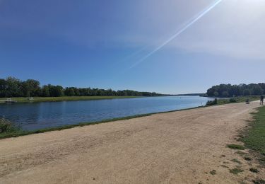
Marche

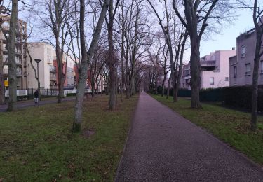
Marche

Marche

Marche
Marche
Marche

Marche
Marche
Marche