


23 km | 27 km-effort

Randonnées du CGT GUIDE+


Application GPS de randonnée GRATUITE
 SityTrail
IGN / Instituts géographiques
SityTrail World
Le monde est à vous
Randonnée A pied de 2,1 km à découvrir à Wallonie, Hainaut, Tournai. Cette randonnée est proposée par Commissariat général au Tourisme.
Randonnée créée par Wallonie Picarde (Antenne Tournai) .
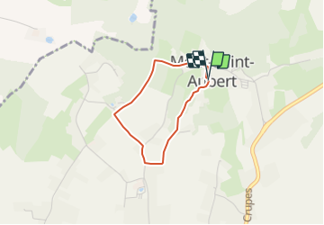
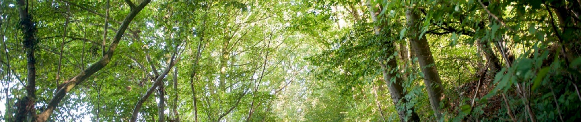
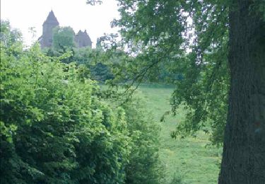
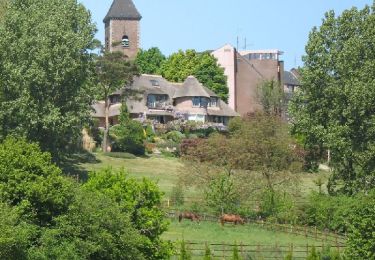
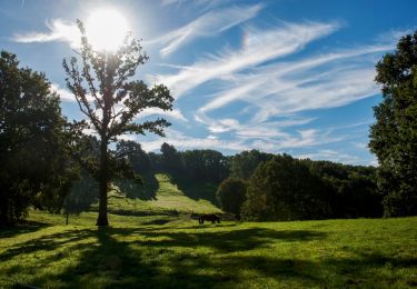
Le Mont Saint-Aubert, avec ses nombreux sentiers, ses points de vue panoramiques sur les plaines de l’Escaut, ses restaurants, ses bistrots et sa plaine de jeux, est un spot de randonnée incontournable dans la région. Quatre circuits vous emmènent sur les sentiers qui serpentent à flanc du mont. Le ‘Sentier des Poètes’ avec ses pierres gravées d’extraits de poèmes, les splendides vues sur la Cité des Cinq Clochers et la traversée des bois, recouverts d’un tapis de jacinthes bleues au printemps, vous assurent de belles balades en perspective, à faire en famille ou entre amis.
Retrouvez la topofiche détaillée du circuit « À travers sentiers et chemins de terre » et des 3 autres circuits à proximité, sur la Carte en réseau «Autour du Mont Saint-Aubert », en vente sur Wapishop.be.
Site web: https://organismes.tourismewallonie.be/details/ITB-02-0006Q4&type=8/


Marche
Marche

A pied
A pied

Marche
Marche

Randonnée équestre
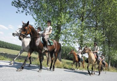
Cheval

V.T.T.