


17,9 km | 22 km-effort

Randonnées du CGT GUIDE+


Application GPS de randonnée GRATUITE
 SityTrail
IGN / Instituts géographiques
SityTrail World
Le monde est à vous
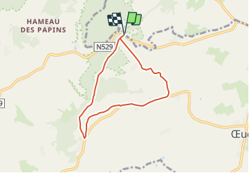
Randonnée A pied de 5,5 km à découvrir à Wallonie, Hainaut, Frasnes-lez-Anvaing. Cette randonnée est proposée par Commissariat général au Tourisme.
Randonnée créée par Wallonie Picarde (Antenne Tournai) .
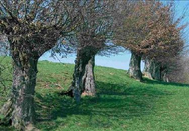
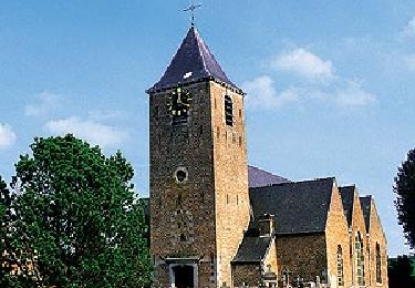
Villages au relief accidenté, Buissenal et Oeudeghien offrent au randonneur une succession de points de vue superbes qui invitent à la découverte des multiples facettes de la région: fermes dispersées, bois, sentiers, chapelles, paysages montueux et bocagers. Ces villages consistent un véritable paradis pour les promeneurs.
Site web: https://organismes.tourismewallonie.be/details/ITB-02-0006PF&type=8/


Marche
Marche
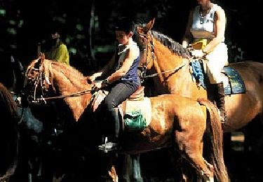
Cheval

A pied

V.T.T.

A pied
A pied
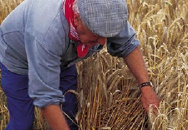
A pied

A pied