


22 km | 26 km-effort


Randonnées du CGT GUIDE+


Application GPS de randonnée GRATUITE
 SityTrail
IGN / Instituts géographiques
SityTrail World
Le monde est à vous
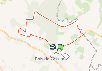
Randonnée A pied de 9,8 km à découvrir à Wallonie, Hainaut, Lessines. Cette randonnée est proposée par Commissariat général au Tourisme.
Randonnée créée par Wallonie Picarde (Antenne Tournai) .
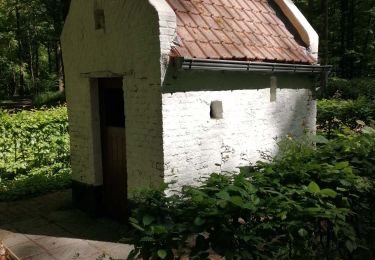
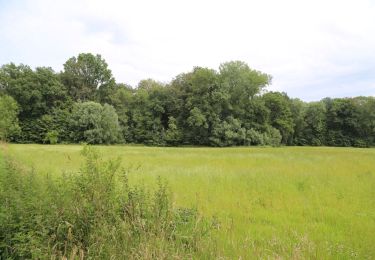
A la frontière du Parc naturel du Pays des Collines et des Ardennes flamandes, Lessines, ville natale du peintre surréaliste René Magritte, combine à merveille sentiers en forêt et chemins au bord de l’eau. Ces trois circuits vous font découvrir la région de Bois-de-Lessines jusqu’à la frontière régionale. Admirez la beauté de la forêt et écoutez le craquement des branches sous vos pieds. Le village de Bois-de-Lessines doit son nom au fait que son territoire était complétement boisé. A l’époque, les forêts de « Bois-de-Lessines », Ollignies, Deux-Acren ne formaient qu’un seul bois jusqu’au « Bois du renard » à Ath !
Retrouvez la topofiche du circuit «Promenade de Bois-de-Lessines » et des 2 autres circuits à proximité, sur la Carte «Autour de Bois-de-Lessines » dans la Wapibox.
Site web: https://organismes.tourismewallonie.be/details/ITB-02-0006QF&type=8/


Marche
A pied
A pied
Cheval

Cheval
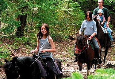
Cheval
A pied

A pied

Marche