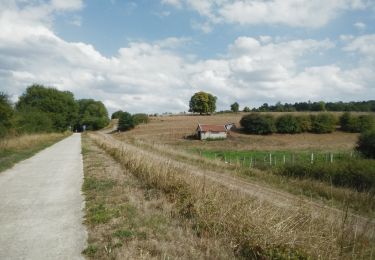
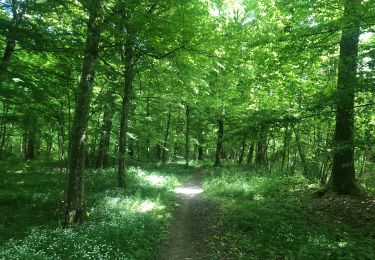
Randonnée A pied Virton - Le Chachi - Photo

Randonnées du CGT GUIDE+

© OpenStreetMap contributors
Longueur
Longueur
9,4 km
Altitude max
Altitude max
306 m
Dénivelé positif
Dénivelé positif
166 m
Km-Effort
Km-Effort  
11,6 km
Altitude min
Altitude min
223 m
Dénivelé négatif
Dénivelé négatif
165 m
Boucle
Boucle
Oui
Date de création :
2022-02-08 11:34:44.321
Dernière modification :
2022-02-21 10:16:04.809

(0 Avis)

A pied
A pied
2h38
Difficulté : Facile

Scannez ce code QR pour ouvrir la randonnée dans l'application SityTrail

Application GPS de randonnée GRATUITE

Logo SityTrail SityTrail

IGN / Instituts géographiques

Télécharger SityTrail sur l'App Store Télécharger SityTrail sur Google Play

Logo SityTrail SityTrail World

Le monde est à vous

Télécharger SityTrail sur l'App Store Télécharger SityTrail sur Google Play Télécharger SityTrail sur Huawei AppGallery

À propos

Randonnée A pied de 9,4 km à découvrir à Wallonie, Luxembourg, Virton. Cette randonnée est proposée par Commissariat général au Tourisme.

Description

Randonnée créée par Gaume.

Le château de Bleid fut longtemps habité par Adrien de Prémorel, chantre de nos bois et de nos campagnes.

Site web: https://organismes.tourismewallonie.be/details/ITB-01-000B35&type=8/

Profil altimétrique

Localisation

Pays :
Belgique
Région :
Wallonie
Département/Province :
Luxembourg
Commune :
Virton
Localité :
Unknown
Départ:(Dec)
Départ:(UTM)
689996 ; 5494089 (31U) N.

Randonnées à proximité

Randonnée Marche Virton - RB-Lu-17_Ethe_via-var-1-et-2-et-3 - Photo
Marche
PRO

Marche

Très facile
(3)
Virton, Wallonie, Luxembourg, Belgique
29 km | 35 km-effort
7h 33min
Oui
Randonnée Marche Virton - GAUME Balade  naturelle et historique - Photo
Marche
julucasi

Marche

Très facile
(1)
Virton, Wallonie, Luxembourg, Belgique
5,2 km | 6,8 km-effort
1h 16min
Oui
Randonnée A pied Virton - La Bajocienne - Photo
A pied
GUIDE+

A pied

Facile
(1)
Virton, Wallonie, Luxembourg, Belgique
11 km | 14,5 km-effort
3h 17min
Oui
Randonnée Marche Virton - RB-Lu-17_Ethe_via-racc - Photo
Marche
PRO

Marche

Très facile
Virton, Wallonie, Luxembourg, Belgique
15,6 km | 19,3 km-effort
4h 8min
Oui
Randonnée Marche Virton - RB-Lu-17_Ethe - Photo
Marche
PRO

Marche

Très facile
Virton, Wallonie, Luxembourg, Belgique
22 km | 28 km-effort
5h 55min
Oui
Randonnée V.T.T. Virton - Montourdon  -  Balade_VTT_26kms - Photo
V.T.T.
Pascal L

V.T.T.

Moyen
Virton, Wallonie, Luxembourg, Belgique
26 km | 32 km-effort
3h 0min
Oui
Randonnée Marche Musson - Tour de la forêt des Monts. - Photo
Marche
Airelle

Marche

Très difficile
(1)
Musson, Wallonie, Luxembourg, Belgique
21 km | 28 km-effort
5h 28min
Oui
Randonnée A pied Virton - Sur les traces d'Adrien de Prémorel - Photo
A pied
GUIDE+

A pied

Facile
Virton, Wallonie, Luxembourg, Belgique
5,6 km | 6,9 km-effort
1h 34min
Oui
Randonnée A pied Saint-Léger - Promenade à Sint-Ldjir - Photo
A pied
GUIDE+

A pied

Facile
Saint-Léger, Wallonie, Luxembourg, Belgique
5,9 km | 7,3 km-effort
1h 39min
Oui


Fermer
Mes abonnements