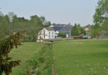

Liaison "La Tannerie - Promenade de Nives
Commissariat général au Tourisme
Randonnées du CGT GUIDE+

Longueur
1,2 km

Altitude max
466 m

Dénivelé positif
0 m

Km-Effort
1,4 km

Altitude min
418 m

Dénivelé négatif
45 m
Boucle
Non
Date de création :
2022-02-08 11:33:32.026
Dernière modification :
2022-02-21 10:14:42.516
18m
Difficulté : Facile

Application GPS de randonnée GRATUITE
À propos
Randonnée A pied de 1,2 km à découvrir à Wallonie, Luxembourg, Vaux-sur-Sûre. Cette randonnée est proposée par Commissariat général au Tourisme.
Description
Randonnée créée par Haute-Süre Forêt d'Anlier en Ardenne.
Site web: https://organismes.tourismewallonie.be/details/ITB-01-000B07&type=8/
Localisation
Pays :
Belgique
Région :
Wallonie
Département/Province :
Luxembourg
Commune :
Vaux-sur-Sûre
Localité :
Nives
Départ:(Dec)
Départ:(UTM)
687656 ; 5531975 (31U) N.
Commentaires
Randonnées à proximité

Promenade des Sources


A pied
Facile
Vaux-sur-Sûre,
Wallonie,
Luxembourg,
Belgique

8 km | 9,8 km-effort
2h 14min
Oui

Strainchamps 2


Marche
Très difficile
(1)
Fauvillers,
Wallonie,
Luxembourg,
Belgique

14,5 km | 19,6 km-effort
4h 27min
Oui

Strainchamps


Marche
Très difficile
(1)
Fauvillers,
Wallonie,
Luxembourg,
Belgique

16,3 km | 21 km-effort
4h 47min
Oui

cyclo legendes 3


Vélo
Moyen
(1)
Vaux-sur-Sûre,
Wallonie,
Luxembourg,
Belgique

51 km | 62 km-effort
3h 28min
Oui

Promenade des Hirondelles


A pied
Facile
Vaux-sur-Sûre,
Wallonie,
Luxembourg,
Belgique

6,8 km | 8,6 km-effort
1h 57min
Oui

Promenade du Héron


A pied
Facile
Léglise,
Wallonie,
Luxembourg,
Belgique

14,6 km | 18 km-effort
4h 4min
Oui

rando Nath


V.T.T.
Facile
(1)
Vaux-sur-Sûre,
Wallonie,
Luxembourg,
Belgique

20 km | 25 km-effort
2h 15min
Oui

Trail Menufontaine (elevation: 520m)


Course à pied
Moyen
(2)
Fauvillers,
Wallonie,
Luxembourg,
Belgique

22 km | 29 km-effort
28min
Oui

Marche ADEPS 10km100 à Morhet Station


Marche
Très facile
Vaux-sur-Sûre,
Wallonie,
Luxembourg,
Belgique

10 km | 12 km-effort
2h 6min
Oui


 SityTrail


