


7,5 km | 11 km-effort


Randonnées du CGT GUIDE+


Application GPS de randonnée GRATUITE
 SityTrail
IGN / Instituts géographiques
SityTrail World
Le monde est à vous
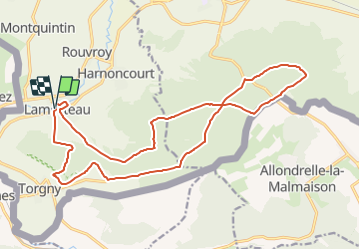
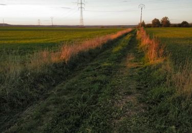
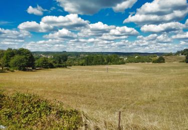
Randonnée Cheval de 19,3 km à découvrir à Wallonie, Luxembourg, Rouvroy. Cette randonnée est proposée par Commissariat général au Tourisme.
Randonnée créée par Gaume.
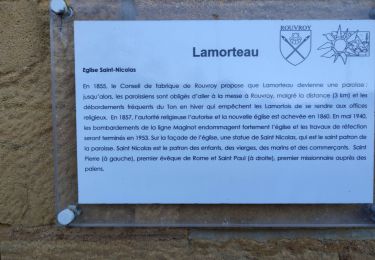
Il est à noter que cette balade nous emmène jusqu'au village le plus méridional de Belgique : Torgny avec ses vignes, son ermitage et sa réserve naturelle ....
Site web: https://organismes.tourismewallonie.be/details/ITB-01-000AYM&type=8/
Marche

V.T.T.
A pied
Marche

Cheval
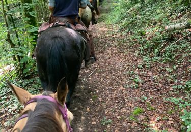
Randonnée équestre
Marche
V.T.T.
V.T.T.