


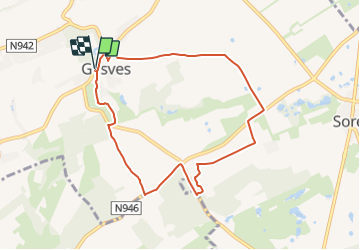


12,6 km | 15,6 km-effort

Randonnées du CGT GUIDE+


Application GPS de randonnée GRATUITE
 SityTrail
IGN / Instituts géographiques
SityTrail World
Le monde est à vous
Randonnée A pied de 7,4 km à découvrir à Wallonie, Namur, Gesves. Cette randonnée est proposée par Commissariat général au Tourisme.
Randonnée créée par Condroz-Famenne.
Promenade a travers les campagnes agricoles de Gesves.
Site web: https://organismes.tourismewallonie.be/details/ITB-01-000ACR&type=8/


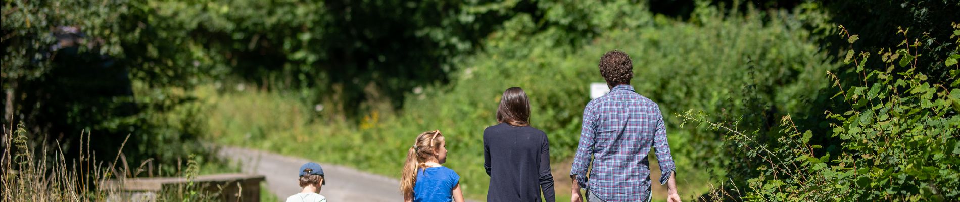
Marche

Marche

Marche

Marche

Marche

Marche

Marche

Marche

Marche