


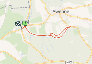

10,8 km | 14,2 km-effort


Randonnées du CGT GUIDE+


Application GPS de randonnée GRATUITE
 SityTrail
IGN / Instituts géographiques
SityTrail World
Le monde est à vous
Randonnée A pied de 2,9 km à découvrir à Wallonie, Luxembourg, Saint-Hubert. Cette randonnée est proposée par Commissariat général au Tourisme.
Randonnée créée par Forêt de Saint-Hubert.
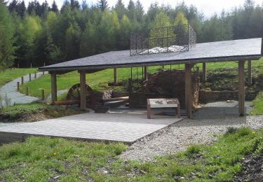
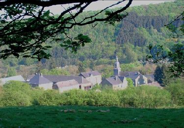
Cette jolie petite balade vous offrira le calme et la sérénité que vous êtes venus chercher. Légèrement vallonné, ce magnifique parcours forestier vous mènera jusqu'à la grotte Notre-Dame de Lourdes.
Site web: https://organismes.tourismewallonie.be/details/LOD-A0-0028-0A72&type=8/

Marche

Marche

Marche

Marche

Marche

Marche

Marche
Marche
Marche